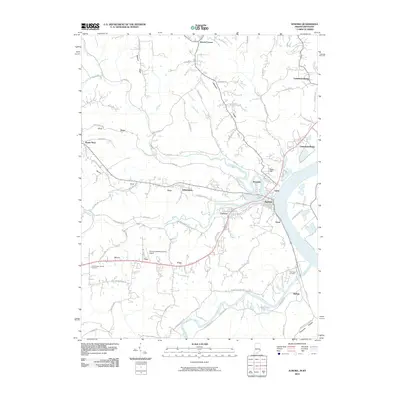
2010 Map of Aurora
USGS Topo · Published 2010About this map
Aurora and Lawrenceburg dominate the Indiana side of the Ohio River in this detailed survey, showcasing the dense riverfront development and the transport corridors that define Dearborn County. The landscape transitions from the industrial and residential river hubs to the high ridges of the interior, such as Possum Ridge and Mount Tabor Ridge. Local aviation and industry intersect at the Aurora Casket Company Airport, a unique landmark situated near the settlement of Tabor.
Find a feature on this map
73 named features on this map. Tap any name to fly to it.
Don’t see what you’re looking for? This feature index may not catch every label — zoom into the map to look around manually.
Map Details
Editions of this 2010 Aurora Map
This is the sole edition of this map. No revisions or reprints were ever made.
Other maps of this area

1915 · Lawrenceburg
USGS Topo · 1:48,000

1928 · Lawrenceburg
USGS Topo · 1:62,500

1932 · Lawrenceburg
USGS Topo · 1:62,500

1943 · Aberdeen
USGS Topo · 1:24,000

1943 · Aurora
USGS Topo · 1:24,000

1943 · Rising Sun
USGS Topo · 1:24,000

1943 · Hooven
USGS Topo · 1:24,000

1943 · Guilford
USGS Topo · 1:24,000

1943 · Lawrenceburg
USGS Topo · 1:24,000

1951 · Rising Sun
USGS Topo · 1:24,000