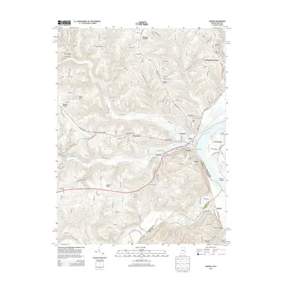
2013 Map of Aurora
USGS Topo · Published 2013About this map
The Ohio River valley forms the centerpiece of this 2013 survey, where the river serves as a state boundary between Indiana and Kentucky. The neighboring river towns of Lawrenceburg and Aurora anchor the landscape, characterized by steep bluffs and ridges that rise sharply from the water. Historical transport patterns are visible through the Aurora Ferry crossing and the network of pikes, such as Hartford Pike, which connect the lowland settlements to upland communities like Wilmington and Mount Sinai.
Find a feature on this map
47 named features on this map. Tap any name to fly to it.
Don’t see what you’re looking for? This feature index may not catch every label — zoom into the map to look around manually.
Map Details
Editions of this 2013 Aurora Map
This is the sole edition of this map. No revisions or reprints were ever made.
Other maps of this area

1915 · Lawrenceburg
USGS Topo · 1:48,000

1928 · Lawrenceburg
USGS Topo · 1:62,500

1932 · Lawrenceburg
USGS Topo · 1:62,500

1943 · Aberdeen
USGS Topo · 1:24,000

1943 · Aurora
USGS Topo · 1:24,000

1943 · Rising Sun
USGS Topo · 1:24,000

1943 · Hooven
USGS Topo · 1:24,000

1943 · Guilford
USGS Topo · 1:24,000

1943 · Lawrenceburg
USGS Topo · 1:24,000

1951 · Rising Sun
USGS Topo · 1:24,000