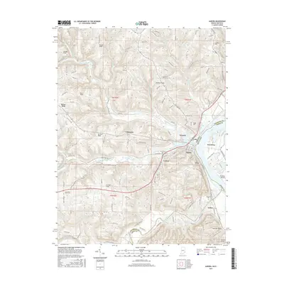
2016 Map of Aurora
USGS Topo · Published 2016About this map
The Ohio River serves as the dominant geographic feature of this 2016 survey, carving a sharp bend that defines the border between Indiana and Kentucky. The city of Aurora is positioned at this strategic river junction, where South Hogan Creek and North Hogan Creek converge. Historically significant settlements like Wilmington and Cochran are situated on the higher ground of the Indiana side, while the community of Petersburg occupies the Kentucky shore.
Find a feature on this map
121 named features on this map. Tap any name to fly to it.
Don’t see what you’re looking for? This feature index may not catch every label — zoom into the map to look around manually.
Map Details
Editions of this 2016 Aurora Map
This is the sole edition of this map. No revisions or reprints were ever made.
Other maps of this area

1915 · Lawrenceburg
USGS Topo · 1:48,000

1928 · Lawrenceburg
USGS Topo · 1:62,500

1932 · Lawrenceburg
USGS Topo · 1:62,500

1943 · Aberdeen
USGS Topo · 1:24,000

1943 · Aurora
USGS Topo · 1:24,000

1943 · Rising Sun
USGS Topo · 1:24,000

1943 · Hooven
USGS Topo · 1:24,000

1943 · Guilford
USGS Topo · 1:24,000

1943 · Lawrenceburg
USGS Topo · 1:24,000

1951 · Rising Sun
USGS Topo · 1:24,000