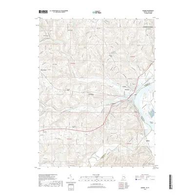
2019 Map of Aurora
USGS Topo · Published 2019About this map
Lawrenceburg and Aurora anchor this riverine corridor where the Ohio River serves as the tri-state boundary between Indiana and Kentucky. The landscape is defined by the deep valleys of North Hogan Creek, South Hogan Creek, and the winding Laughery Creek, which carves through the southern portion of the map. Smaller, historically distinct communities like Cochran, Wilmington, and Mount Sinai are situated on higher ground or along secondary waterways, while the riverside is marked by long-standing landmarks such as River View Cem and Mount Tabor Church Cem. The terrain is characterized by a series of prominent ridges, including Possum Ridge, Mt Sinai Ridge, and Ebenezer Ridge, which separate the various creek basins. Modern trail networks like the Aurora-to-Lawrenceburg Rail-Trail and the Ohio River Trail reflect the adaptation of older transportation corridors for contemporary use, following the natural curve of the riverbank.
Find a feature on this map
45 named features on this map. Tap any name to fly to it.
Don’t see what you’re looking for? This feature index may not catch every label — zoom into the map to look around manually.
Map Details
Editions of this 2019 Aurora Map
This is the sole edition of this map. No revisions or reprints were ever made.
Other maps of this area

1915 · Lawrenceburg
USGS Topo · 1:48,000

1928 · Lawrenceburg
USGS Topo · 1:62,500

1932 · Lawrenceburg
USGS Topo · 1:62,500

1943 · Aberdeen
USGS Topo · 1:24,000

1943 · Aurora
USGS Topo · 1:24,000

1943 · Rising Sun
USGS Topo · 1:24,000

1943 · Hooven
USGS Topo · 1:24,000

1943 · Guilford
USGS Topo · 1:24,000

1943 · Lawrenceburg
USGS Topo · 1:24,000

1951 · Rising Sun
USGS Topo · 1:24,000