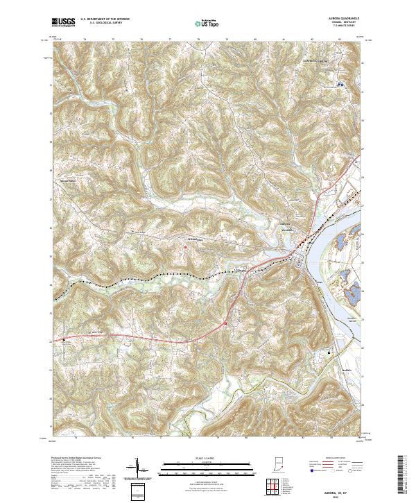
2022 Map of Aurora
USGS Topo · Published 2022About this map
Aurora and Lawrenceburg dominate the eastern riverfront of this Dearborn County survey, where the Ohio River forms a critical border between Indiana and Kentucky. The landscape transitions from the developed river terraces of Buffalo and Texas into a high, dissected plateau marked by prominent ridges. Notable high ground includes Ebenezer Ridge, Short Ridge, and Mt Sinai Ridge, which separate the drainage basins of North Hogan Creek, South Hogan Creek, and Laughery Creek. Small, established communities like Wilmington and Mount Sinai are situated along these upland corridors, while the river's edge is defined by industrial and residential pockets like Cochran and Utah. Genealogists may find value in the locations of the Mount Tabor Church Cem and River View Cem, providing clear spatial context for local family history research in this river-valley setting.
Find a feature on this map
86 named features on this map. Tap any name to fly to it.
Don’t see what you’re looking for? This feature index may not catch every label — zoom into the map to look around manually.
Map Details
Editions of this 2022 Aurora Map
This is the sole edition of this map. No revisions or reprints were ever made.
Other maps of this area

1915 · Lawrenceburg
USGS Topo · 1:48,000

1928 · Lawrenceburg
USGS Topo · 1:62,500

1932 · Lawrenceburg
USGS Topo · 1:62,500

1943 · Aberdeen
USGS Topo · 1:24,000

1943 · Aurora
USGS Topo · 1:24,000

1943 · Rising Sun
USGS Topo · 1:24,000

1943 · Hooven
USGS Topo · 1:24,000

1943 · Guilford
USGS Topo · 1:24,000

1943 · Lawrenceburg
USGS Topo · 1:24,000

1951 · Rising Sun
USGS Topo · 1:24,000