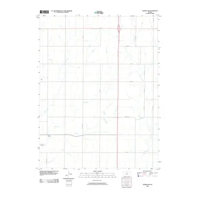
2009 Map of Aurora SW
USGS Topo · Published 2009About this map
Delphos Cemetery and Saint Paul Cemetery anchor the southwestern corner of this Cloud County landscape, marking the established burial grounds for local families in this agricultural region. The terrain is defined by a dense network of watercourses, including West Pipe Creek and Yockey Creek, which carve through the plains. The 2008 NAIP imagery used by the U.S. Geological Survey reveals a strictly organized grid of rural roads such as Windmill Rd and Acorn Rd, which facilitate the movement of goods across the farmsteads. This network of thoroughfares, including the arterial N 140th Rd, underscores the persistent reliance on road-based transport for the area's agricultural economy, while the drainage patterns of Henry Creek and Dry Creek illustrate the natural hydrology that dictates field placement and land use.
Find a feature on this map
20 named features on this map. Tap any name to fly to it.
Don’t see what you’re looking for? This feature index may not catch every label — zoom into the map to look around manually.
Map Details
Editions of this 2009 Aurora SW Map
This is the sole edition of this map. No revisions or reprints were ever made.
Other maps of this area

1892 · Minneapolis
USGS Topo · 1:125,000

1952 · Glasco
USGS Topo · 1:24,000

1953 · Glasco NE
USGS Topo · 1:24,000

1955 · Manhattan
USGS Topo · 1:250,000

1956 · Manhattan
USGS Topo · 1:250,000

1957 · Manhattan
USGS Topo · 1:250,000

1961 · Tescott NE
USGS Topo · 1:24,000

1964 · Lamar
USGS Topo · 1:24,000

1965 · Aurora
USGS Topo · 1:24,000

1965 · Minneapolis North
USGS Topo · 1:24,000