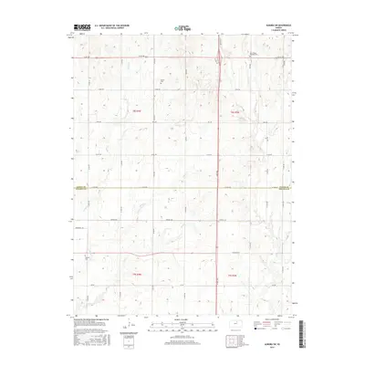
2015 Map of Aurora SW
USGS Topo · Published 2015About this map
The prairie landscape at the border of Cloud Co and Ottawa Co is defined by a grid of rural roads and the meandering drainage of several small creeks. Local genealogy is anchored by established burial grounds such as Bethel Cem in the northwest and Saint Peters Meredith Cem to the northeast. Waterways like Yockey Cr, Henry Cr, and Dry Cr carve gentle valleys through the sectioned farmland, illustrating the persistent agricultural patterns of central Kansas. Further south, Delphos Cem and the drainage of W Pipe Cr mark the transition toward the Solomon River valley beyond the map's edge. The layout of section-line roads, including Windmill Rd and Ute Rd, highlights the systematic land division that has shaped this region for generations.
Find a feature on this map
32 named features on this map. Tap any name to fly to it.
Don’t see what you’re looking for? This feature index may not catch every label — zoom into the map to look around manually.
Map Details
Editions of this 2015 Aurora SW Map
This is the sole edition of this map. No revisions or reprints were ever made.
Other maps of this area

1892 · Minneapolis
USGS Topo · 1:125,000

1952 · Glasco
USGS Topo · 1:24,000

1953 · Glasco NE
USGS Topo · 1:24,000

1955 · Manhattan
USGS Topo · 1:250,000

1956 · Manhattan
USGS Topo · 1:250,000

1957 · Manhattan
USGS Topo · 1:250,000

1961 · Tescott NE
USGS Topo · 1:24,000

1964 · Lamar
USGS Topo · 1:24,000

1965 · Aurora
USGS Topo · 1:24,000

1965 · Minneapolis North
USGS Topo · 1:24,000