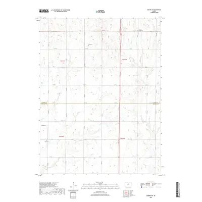
2018 Map of Aurora SW
USGS Topo · Published 2018About this map
Meredith Cem and Saint Peters church sit near the northern border of this central Kansas landscape, where the agricultural grid meets a series of meandering creek beds. The terrain is defined by the drainage patterns of Yockey Cr, Henry Cr, and Dry Cr, which cut through the sections of Cloud and Ottawa counties. This 2018 survey captures a rural infrastructure still rooted in early settlement patterns, visible in the placement of Bethel Cem and Delphos Cem along the section-line roads. The division between Cloud Co and Ottawa Co is clearly marked by Co Line Rd, illustrating how political boundaries were often superimposed upon the rolling prairie. Named routes like Windmill Rd and Wilderness Rd reflect the local heritage and the enduring network of county roads that service the scattered farmsteads and rural parish centers.
Find a feature on this map
39 named features on this map. Tap any name to fly to it.
Don’t see what you’re looking for? This feature index may not catch every label — zoom into the map to look around manually.
Map Details
Editions of this 2018 Aurora SW Map
This is the sole edition of this map. No revisions or reprints were ever made.
Other maps of this area

1892 · Minneapolis
USGS Topo · 1:125,000

1952 · Glasco
USGS Topo · 1:24,000

1953 · Glasco NE
USGS Topo · 1:24,000

1955 · Manhattan
USGS Topo · 1:250,000

1956 · Manhattan
USGS Topo · 1:250,000

1957 · Manhattan
USGS Topo · 1:250,000

1961 · Tescott NE
USGS Topo · 1:24,000

1964 · Lamar
USGS Topo · 1:24,000

1965 · Aurora
USGS Topo · 1:24,000

1965 · Minneapolis North
USGS Topo · 1:24,000