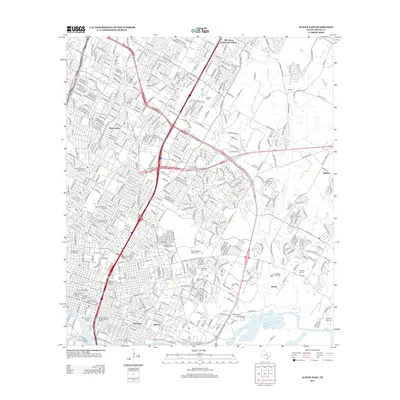
2013 Map of Austin East
USGS Topo · Published 2013About this map
Oakwood Cem and the State Cem of Texas anchor the heritage of this urban landscape, where the modern capital's dense grid meets the winding Colorado River. The area is characterized by a dense concentration of preserved neighborhoods, including the Hyde Park Historic District and the Sixth Street Historic District, showcasing the city's early development and commercial evolution. Further east, the terrain opens toward former agricultural settlements like Daffan and Sprinkle, where the headwaters of Walnut Cr and Decker Cr drain the central Texas plains.
Find a feature on this map
53 named features on this map. Tap any name to fly to it.
Don’t see what you’re looking for? This feature index may not catch every label — zoom into the map to look around manually.
Map Details
Editions of this 2013 Austin East Map
This is the sole edition of this map. No revisions or reprints were ever made.
Other maps of this area

1896 · Austin
USGS Topo · 1:125,000

1897 · Austin
USGS Topo · 1:125,000

1910 · Austin
USGS Topo · 1:125,000

1932 · Mt. Bonnell
USGS Topo · 1:62,500

1954 · Austin East
USGS Topo · 1:24,000

1954 · Austin West
USGS Topo · 1:24,000

1954 · Austin
USGS Topo · 1:250,000

1955 · Montopolis
USGS Topo · 1:24,000

1955 · Oak Hill
USGS Topo · 1:24,000

1955 · Montopolis
USGS Topo · 1:62,500