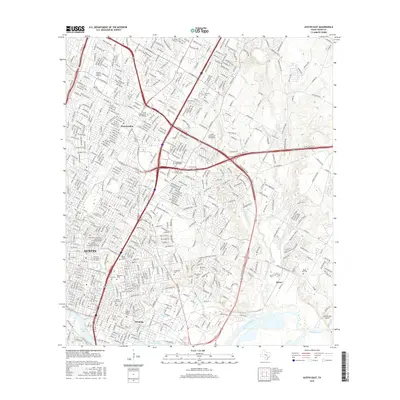
2016 Map of Austin East
USGS Topo · Published 2016About this map
The eastern half of Austin and its maturing suburbs are captured here during a period of significant urban density. The landscape is defined by its educational and cultural institutions, ranging from the sprawling campus of The Univ of Texas at Austin to smaller religious and technical schools like the Austin Presbyterian Theological Seminary and ITT Technical Institute-Austin. The city's historical memory is preserved in a dense network of burial grounds, including the prominent Texas State Cem, Oakwood Cem, and Evergreen Cem.
Find a feature on this map
44 named features on this map. Tap any name to fly to it.
Don’t see what you’re looking for? This feature index may not catch every label — zoom into the map to look around manually.
Map Details
Editions of this 2016 Austin East Map
This is the sole edition of this map. No revisions or reprints were ever made.
Other maps of this area

1896 · Austin
USGS Topo · 1:125,000

1897 · Austin
USGS Topo · 1:125,000

1910 · Austin
USGS Topo · 1:125,000

1932 · Mt. Bonnell
USGS Topo · 1:62,500

1954 · Austin East
USGS Topo · 1:24,000

1954 · Austin West
USGS Topo · 1:24,000

1954 · Austin
USGS Topo · 1:250,000

1955 · Montopolis
USGS Topo · 1:24,000

1955 · Oak Hill
USGS Topo · 1:24,000

1955 · Montopolis
USGS Topo · 1:62,500