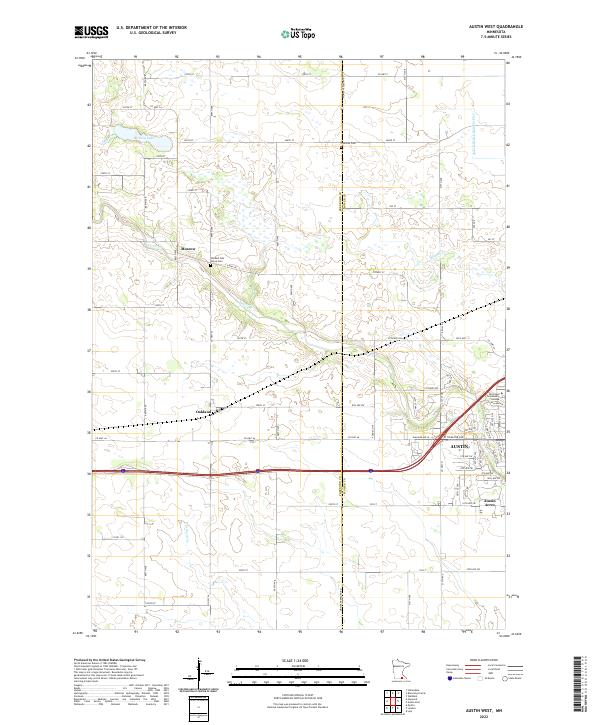
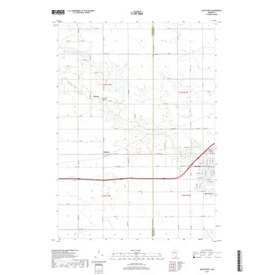
2022 Map of Austin West
USGS Topo · Published 2022About this map
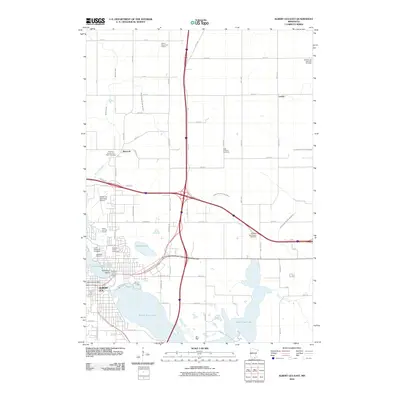
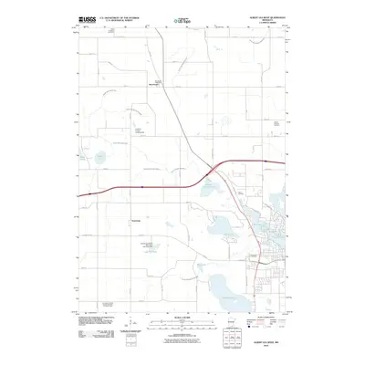
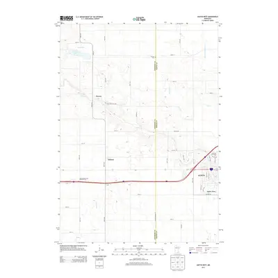
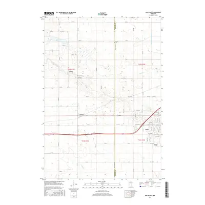
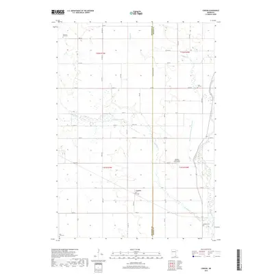
Austin anchors the southeast corner of this landscape, showing its modern expansion toward Austin Acres and the campus of Riverland Community College. This survey captures the transition from the city's residential and commercial blocks into the expansive agricultural townships of t103n r19w and t103n r18w. The terrain is defined by a dense network of water management and natural drainage, including the winding Turtle Cr and the engineered precision of Judicial Ditch Number Five. Smaller rural hubs like Moscow and Oakland are visible along the county highway system, providing clear reference points for local history. For genealogists, the presence of Old Red Oak Grove Cem and Fairview Cem on the boundary of Freeborn Co and Mower Co offers critical location data for ancestral research in these farming communities.
Find a feature on this map
55 named features on this map. Tap any name to fly to it.
Don’t see what you’re looking for? This feature index may not catch every label — zoom into the map to look around manually.
Map Details
Editions of this 2022 Austin West Map
This is the sole edition of this map. No revisions or reprints were ever made.
Historical Maps of Austin Through Time
24 maps found
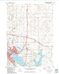
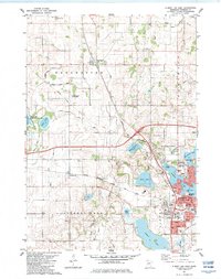
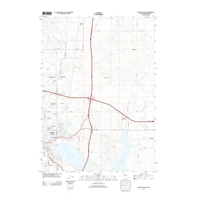
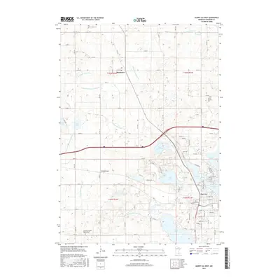
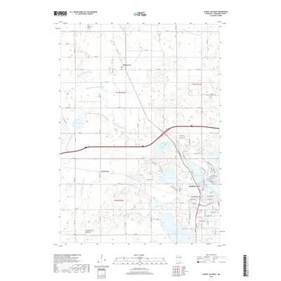
1982 Albert Lea East
Freeborn County, MN
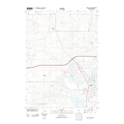
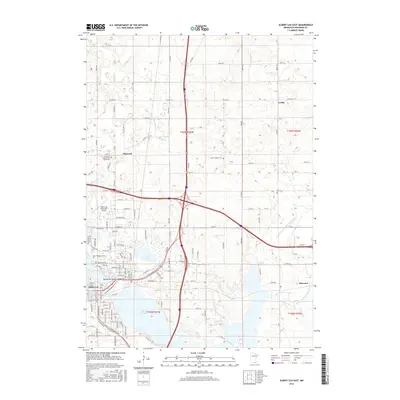
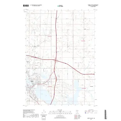
1982 Albert Lea West
Freeborn County, MN
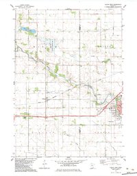
1982 Austin West
Freeborn County, MN
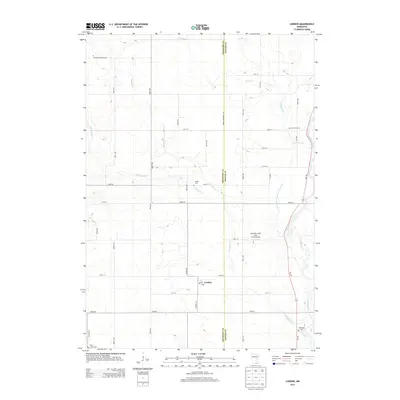
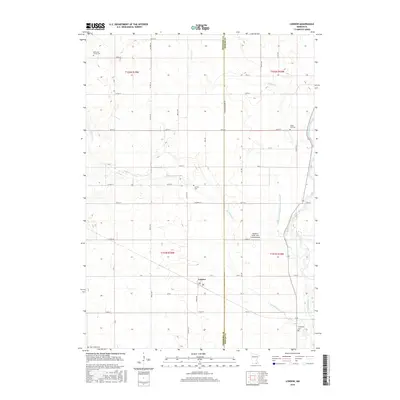
1982 London
Freeborn County, MN
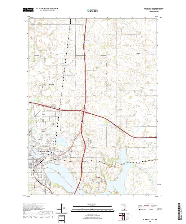
2010 Albert Lea East
Freeborn County, MN
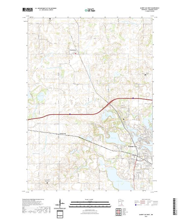
2010 Albert Lea West
Freeborn County, MN
2010 Austin West
Freeborn County, MN
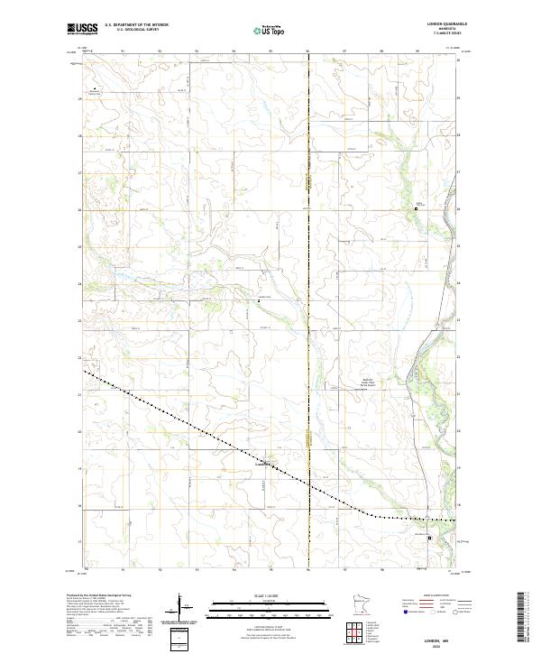
2010 London
Freeborn County, MN
2013 Albert Lea East
Freeborn County, MN
2013 Albert Lea West
Freeborn County, MN
2013 Austin West
Freeborn County, MN
2013 London
Freeborn County, MN
2016 Albert Lea East
Freeborn County, MN
2016 Albert Lea West
Freeborn County, MN
2016 Austin West
Freeborn County, MN
2016 London
Freeborn County, MN
2019 Albert Lea East
Freeborn County, MN
2019 Albert Lea West
Freeborn County, MN
2019 Austin West
Freeborn County, MN
2019 London
Freeborn County, MN
2022 Albert Lea East
Freeborn County, MN
2022 Albert Lea West
Freeborn County, MN
2022 Austin West
Freeborn County, MN
2022 London
Freeborn County, MN