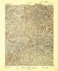
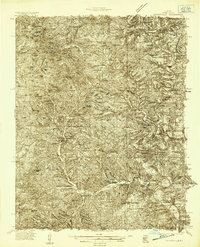
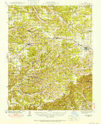
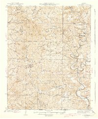
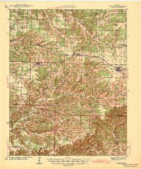
1936 Map of Ava
USGS Topo · Published 1936About this map
Ava serves as the primary hub of this 1930s landscape, a region defined by a dense network of country schools and rural churches during the mid-depression era. The map records a transition in local settlement, evidenced by the proximity of Old Toledo and New Toledo in the southern portion of the quadrangle. This period saw a high density of educational outposts even in sparsely populated hollows, with facilities like Black Oak Sch, Mt Tabor Sch, and Excelsior Sch serving isolated farming families.
Find a feature on this map
52 named features on this map. Tap any name to fly to it.
Don’t see what you’re looking for? This feature index may not catch every label — zoom into the map to look around manually.
Map Details
Editions of this 1936 Ava Map
This is the sole edition of this map. No revisions or reprints were ever made.
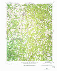
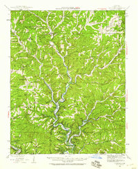
Other maps of this area
1934 · Gainesville
USGS Topo · 1:48,000

1936 · Thornfield
USGS Topo · 1:48,000

1937 · Buckhart
USGS Topo · 1:48,000

1937 · Bradleyville
USGS Topo · 1:48,000
1939 · Fordland
USGS Topo · 1:62,500
1940 · Gainesville
USGS Topo · 1:62,500
1942 · Fordland
USGS Topo · 1:62,500
1942 · Ava
USGS Topo · 1:62,500

1943 · Protem
USGS Topo · 1:62,500
1943 · Thornfield
USGS Topo · 1:62,500