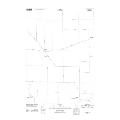
2013 Map of Avalon
USGS Topo · Published 2013About this map
Johnstown Center and the neighboring village of Johnstown anchor this southern Wisconsin landscape, where the agricultural grid is intersected by several historic transportation routes. The area is defined by its rural settlement pattern, featuring a network of county highways and local roads such as Territorial Rd and N Scharine Rd. The presence of the Johnstown Center Airport highlights the region's continued utility in the modern era, while the southern reaches of the map near Avalon and Fairfield are shaped by the winding course of Turtle Creek and its tributaries. This survey captures a transition between open farmland and concentrated hamlets, reflecting a landscape where local history is preserved in the names of the drainage basins like Spring Brook and the small bodies of water like Trout Lake that dot the countryside.
Find a feature on this map
43 named features on this map. Tap any name to fly to it.
Don’t see what you’re looking for? This feature index may not catch every label — zoom into the map to look around manually.
Map Details
Editions of this 2013 Avalon Map
This is the sole edition of this map. No revisions or reprints were ever made.
Other maps of this area

1891 · Koshkonong
USGS Topo · 1:62,500

1892 · Whitewater
USGS Topo · 1:62,500

1893 · Delavan
USGS Topo · 1:62,500

1893 · Whitewater
USGS Topo · 1:62,500

1893 · Shopiere
USGS Topo · 1:62,500

1894 · Koshkonong
USGS Topo · 1:62,500

1903 · Whitewater
USGS Topo · 1:62,500

1906 · Koshkonong
USGS Topo · 1:62,500

1924 · Whitewater
USGS Topo · 1:62,500

1954 · Rockford
USGS Topo · 1:250,000