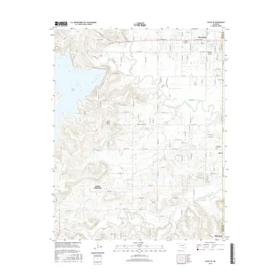
2016 Map of Avant SE
USGS Topo · Published 2016About this map
Skiatook Lake dominates the northwest corner of this landscape, its fingers reaching into the surrounding Oklahoma hills where Homing Creek and other smaller tributaries flow. The boundary between Osage County and Tulsa County runs vertically through the center, marking a transition from the developing residential grids of Skiatook and Sperry to the more open ranch lands in the west. Several small family and community cemeteries, including Osage Gardens Cem, Captain Cem, and Sperry Rest Haven Cem, are scattered across the terrain, offering significant touchpoints for local genealogical research. Aviation is well-represented here with both the Skiatook Municipal Airport and the private Wilson Ranch Airport located south of the lake. The southern edge of the map shows the northern extensions of Sand Springs and Tulsa, indicating the suburban expansion from the metropolitan area.
Find a feature on this map
63 named features on this map. Tap any name to fly to it.
Don’t see what you’re looking for? This feature index may not catch every label — zoom into the map to look around manually.
Map Details
Editions of this 2016 Avant SE Map
This is the sole edition of this map. No revisions or reprints were ever made.
Other maps of this area

1901 · Claremore
USGS Topo · 1:125,000

1912 · Hominy
USGS Topo · 1:125,000

1914 · Claremore
USGS Topo · 1:125,000

1915 · Hominy
USGS Topo · 1:125,000

1916 · Claremore
USGS Topo · 1:125,000

1954 · Tulsa
USGS Topo · 1:250,000

1954 · Tulsa
USGS Topo · 1:24,000

1955 · Sperry
USGS Topo · 1:24,000

1955 · Enid
USGS Topo · 1:250,000

1956 · Sand Springs
USGS Topo · 1:24,000