
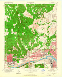
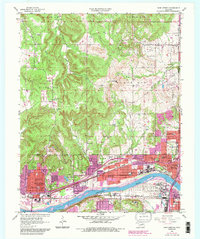
1956 Map of Sand Springs
USGS Topo · Published 1957About this map
The Arkansas River serves as the industrial and geographical anchor of this mid-1950s survey, separating the dense urban and manufacturing grids of Sand Springs and Tulsa from the rugged, oil-rich heights of Black Dog to the north. Extensive Oil Field activity is visible across the northern uplands, marked by numerous wells and tanks that feed into the massive Oil Refinery infrastructure along the riverbank. The rail network, featuring the St Louis San Francisco and Missouri Kansas Texas lines, highlights the area's role as a regional transit hub.
Find a feature on this map
49 named features on this map. Tap any name to fly to it.
Don’t see what you’re looking for? This feature index may not catch every label — zoom into the map to look around manually.
Map Details
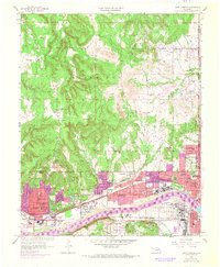
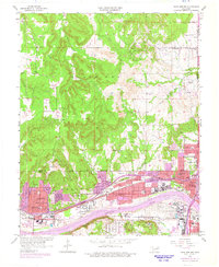
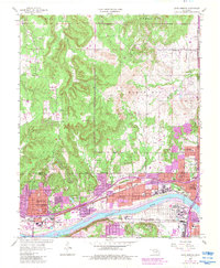
Editions of this 1956 Sand Springs Map
6 editions found
Other maps of this area

1901 · Claremore
USGS Topo · 1:125,000

1912 · Hominy
USGS Topo · 1:125,000

1914 · Claremore
USGS Topo · 1:125,000

1915 · Hominy
USGS Topo · 1:125,000

1916 · Claremore
USGS Topo · 1:125,000

1952 · Jenks
USGS Topo · 1:24,000

1954 · Tulsa
USGS Topo · 1:250,000

1954 · Tulsa
USGS Topo · 1:24,000

1955 · Sperry
USGS Topo · 1:24,000

1955 · Enid
USGS Topo · 1:250,000