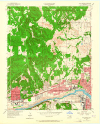
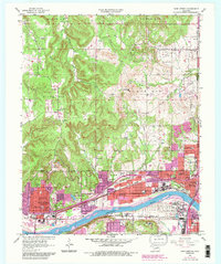
1956 Map of Sand Springs
USGS Topo · Published 1965About this map
The Arkansas River serves as the industrial and geographical spine for this mid-century survey of the Tulsa Metropolitan Area. In Sand Springs, the landscape is defined by the heavy infrastructure of the era, featuring a large oil refinery, various gravel pits, and a network of specialized rail lines including the Sand Springs RR and the St Louis San Francisco RR. North of the river, the Osage Indian Reservation boundary marks a transition into the wooded uplands of Black Dog. Educational and social hubs are densely mapped, from the Booker T Washington Sch and a local orphanage to the Osage Hills Country Club. This document captures the region just as suburban expansion began to press against the established oil fields and rural schools like Shady Grove Sch.
Find a feature on this map
61 named features on this map. Tap any name to fly to it.
Don’t see what you’re looking for? This feature index may not catch every label — zoom into the map to look around manually.
Map Details
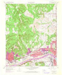
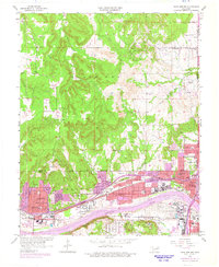
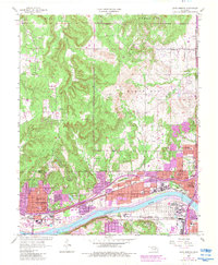
Editions of this 1956 Sand Springs Map
6 editions found

Other maps of this area

1901 · Claremore
USGS Topo · 1:125,000

1912 · Hominy
USGS Topo · 1:125,000

1914 · Claremore
USGS Topo · 1:125,000

1915 · Hominy
USGS Topo · 1:125,000

1916 · Claremore
USGS Topo · 1:125,000

1952 · Jenks
USGS Topo · 1:24,000

1954 · Tulsa
USGS Topo · 1:250,000

1954 · Tulsa
USGS Topo · 1:24,000

1955 · Sperry
USGS Topo · 1:24,000

1955 · Enid
USGS Topo · 1:250,000