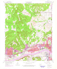
1956 Map of Sand Springs
USGS Topo · Published 1975About this map
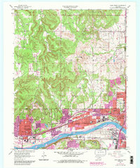
The Arkansas River serves as the southern anchor of this industrial and residential landscape, where the growing community of Sand Springs meets the rugged terrain of Black Dog. Extensive Oil Field operations are visible across the northern hills, particularly around Turkey Creek, while the southern urban corridor is defined by heavy infrastructure including an Oil Refinery and the San Francisco and Missouri Pacific railroads. The map highlights a dense network of local education and community sites, from the Booker T Washington Sch and Central Sch in the heart of town to the more rural Shady Grove Sch. The transition from urban development to the Osage Indian Reservation Bdy is clearly delineated, showing how the mid-century expansion of West Tulsa and Kengle pushed against established tribal and topographical boundaries.
Find a feature on this map
57 named features on this map. Tap any name to fly to it.
Don’t see what you’re looking for? This feature index may not catch every label — zoom into the map to look around manually.
Map Details
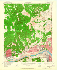
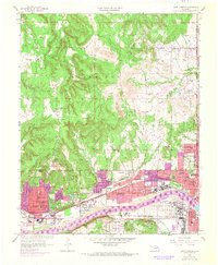
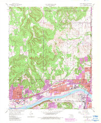
Editions of this 1956 Sand Springs Map
6 editions found

Other maps of this area

1901 · Claremore
USGS Topo · 1:125,000

1912 · Hominy
USGS Topo · 1:125,000

1914 · Claremore
USGS Topo · 1:125,000

1915 · Hominy
USGS Topo · 1:125,000

1916 · Claremore
USGS Topo · 1:125,000

1952 · Jenks
USGS Topo · 1:24,000

1954 · Tulsa
USGS Topo · 1:250,000

1954 · Tulsa
USGS Topo · 1:24,000

1955 · Sperry
USGS Topo · 1:24,000

1955 · Enid
USGS Topo · 1:250,000