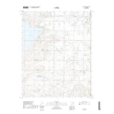
2018 Map of Avant SE
USGS Topo · Published 2018About this map
The boundary between Osage Co and Tulsa Co cuts through this Oklahoma landscape, where the expansive waters of Skiatook Lake meet the winding corridors of Hominy Creek and Quapaw Creek. The region reflects a mix of suburban growth and aviation infrastructure, anchored by the Skiatook Municipal Airport and the smaller Wilson Ranch Airport.
Find a feature on this map
77 named features on this map. Tap any name to fly to it.
Don’t see what you’re looking for? This feature index may not catch every label — zoom into the map to look around manually.
Map Details
Editions of this 2018 Avant SE Map
This is the sole edition of this map. No revisions or reprints were ever made.
Other maps of this area

1901 · Claremore
USGS Topo · 1:125,000

1912 · Hominy
USGS Topo · 1:125,000

1914 · Claremore
USGS Topo · 1:125,000

1915 · Hominy
USGS Topo · 1:125,000

1916 · Claremore
USGS Topo · 1:125,000

1954 · Tulsa
USGS Topo · 1:250,000

1954 · Tulsa
USGS Topo · 1:24,000

1955 · Sperry
USGS Topo · 1:24,000

1955 · Enid
USGS Topo · 1:250,000

1956 · Sand Springs
USGS Topo · 1:24,000