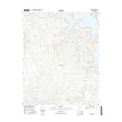
2016 Map of Avant SW
USGS Topo · Published 2016About this map
Skiatook Lake dominates the northern reaches of this landscape, its indented shoreline creating numerous peninsulas and coves along the drainage of Wildhorse Creek and its tributaries. The terrain is defined by the winding paths of Eagle Cr, Turkey Cr, and Tall Chief Cr, which carve through the central uplands before the elevation drops toward the southern edge of the sheet. Here, the waters of Delaware Creek flow toward the northern tip of Keystone Lake.
Find a feature on this map
27 named features on this map. Tap any name to fly to it.
Don’t see what you’re looking for? This feature index may not catch every label — zoom into the map to look around manually.
Map Details
Editions of this 2016 Avant SW Map
This is the sole edition of this map. No revisions or reprints were ever made.
Other maps of this area

1912 · Hominy
USGS Topo · 1:125,000

1915 · Hominy
USGS Topo · 1:125,000

1915 · Hominy
USGS Topo · 1:62,500

1955 · Enid
USGS Topo · 1:250,000

1956 · Sand Springs
USGS Topo · 1:24,000

1958 · Enid
USGS Topo · 1:250,000

1958 · Keystone Dam
USGS Topo · 1:24,000

1958 · Wekiwa
USGS Topo · 1:24,000
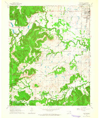
1963 · Avant SE
USGS Topo · 1:24,000
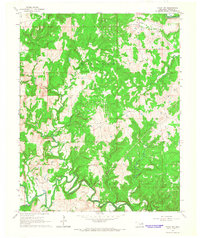
1966 · Avant NW
USGS Topo · 1:24,000