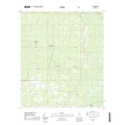
2021 Map of Avent
USGS Topo · Published 2021About this map
The De Soto National Forest dominates this section of southeast Mississippi, preserving a landscape defined by the winding Pascagoula River and its complex network of tributaries. Near the settlement of Avent, the terrain rises into the Whiskey Creek Hills, while the lowlands are marked by numerous oxbow features like Pace Lake and the Davis Dead River. The presence of Mta Camp Shelby in the western reaches indicates the region's continued importance for military training within the protected forest lands.
Find a feature on this map
60 named features on this map. Tap any name to fly to it.
Don’t see what you’re looking for? This feature index may not catch every label — zoom into the map to look around manually.
Map Details
Editions of this 2021 Avent Map
This is the sole edition of this map. No revisions or reprints were ever made.
Other maps of this area

1941 · Lucedale
USGS Topo · 1:62,500

1943 · Lucedale
USGS Topo · 1:62,500

1947 · Beaumont
USGS Topo · 1:62,500

1947 · Benndale
USGS Topo · 1:62,500

1949 · Beaumont
USGS Topo · 1:62,500

1949 · Benndale
USGS Topo · 1:62,500

1953 · Hattiesburg
USGS Topo · 1:250,000

1953 · Mobile
USGS Topo · 1:250,000

1957 · Mobile
USGS Topo · 1:250,000

1958 · Hattiesburg
USGS Topo · 1:250,000