2024 Map of Avent
USGS Topo · Published 2024About this map
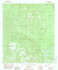
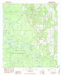
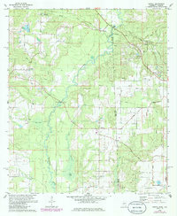
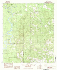
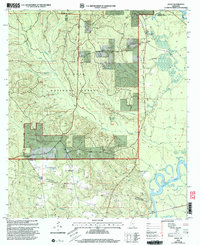
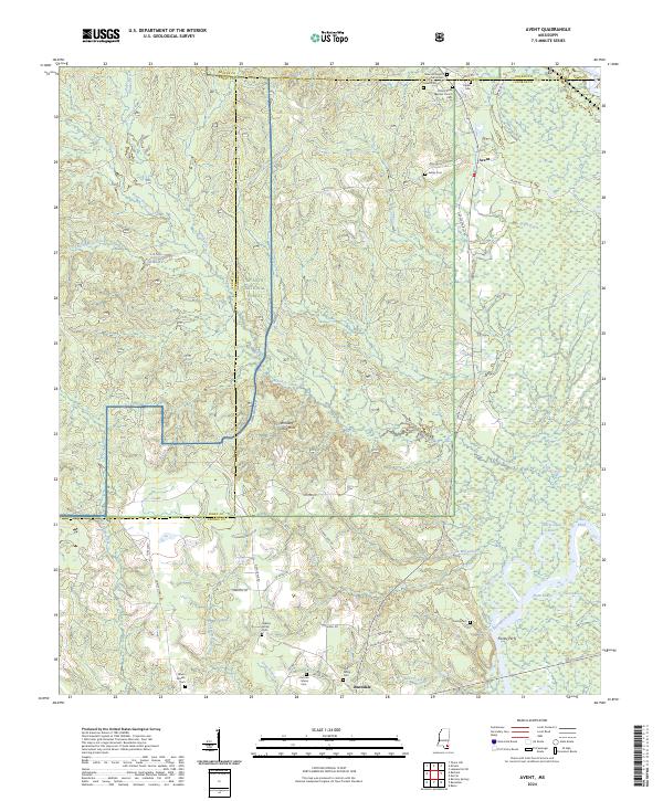
The Pascagoula River and the Leaf River converge in this southeastern Mississippi landscape, creating a complex network of waterways including Davis Dead River, Dace Eddy, and Dace Lake. This area, heavily wooded as part of the De Soto National Forest, is defined by its family-centric rural settlements and legacy landmarks. Small communities like Avent and Benndale are connected by local roads such as Salem Rd and Clarence Fairley Rd, which weave through the Whiskey Creek Hills.
Find a feature on this map
62 named features on this map. Tap any name to fly to it.
Don’t see what you’re looking for? This feature index may not catch every label — zoom into the map to look around manually.
Map Details
Editions of this 2024 Avent Map
This is the sole edition of this map. No revisions or reprints were ever made.
Historical Maps of Avent Through Time
9 maps found