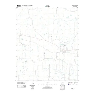
2010 Map of Avery
USGS Topo · Published 2010About this map
The town of Avery serves as the central hub for this northeast Texas landscape, situated along a network of country roads including W Alabama Ave and El Paso St. The area's history is deeply rooted in its rural cemeteries, which are scattered throughout the quadrangle and offer valuable points of interest for genealogists. These sites include Warthan Cemetery, Holder Cemetery, Nevill Cemetery, Honeycutt Cemetery, and Savannah Cemetery.
Find a feature on this map
50 named features on this map. Tap any name to fly to it.
Don’t see what you’re looking for? This feature index may not catch every label — zoom into the map to look around manually.
Map Details
Editions of this 2010 Avery Map
This is the sole edition of this map. No revisions or reprints were ever made.
Other maps of this area

1930 · Bassett
USGS Topo · 1:62,500

1950 · De Kalb NW
USGS Topo · 1:24,000

1950 · White Rock
USGS Topo · 1:24,000

1950 · Oak Grove
USGS Topo · 1:24,000

1950 · Annona
USGS Topo · 1:24,000

1951 · English
USGS Topo · 1:24,000

1951 · Annona
USGS Topo · 1:24,000

1951 · White Rock
USGS Topo · 1:24,000

1951 · De Kalb NW
USGS Topo · 1:24,000

1951 · Oak Grove
USGS Topo · 1:24,000