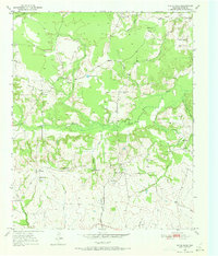
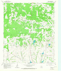
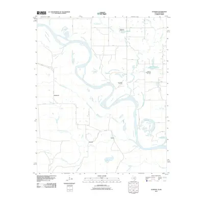
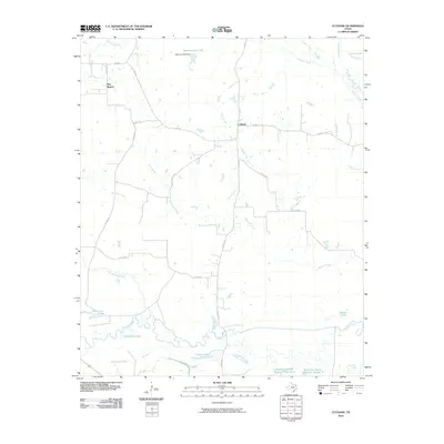
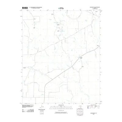
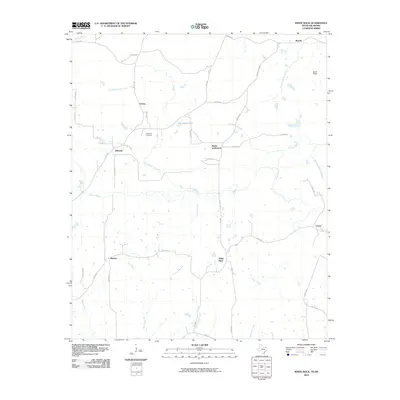
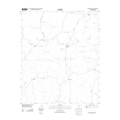
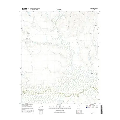
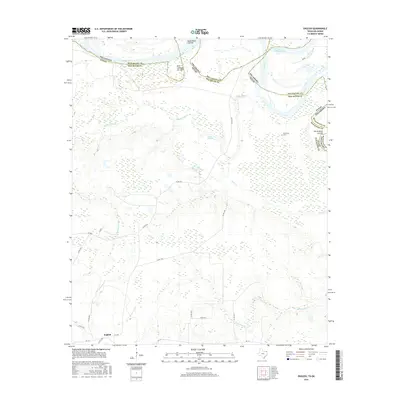
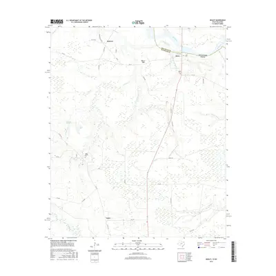
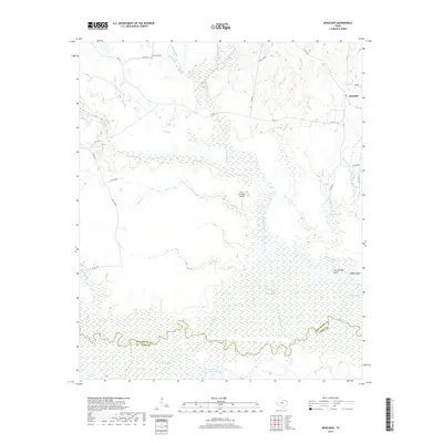
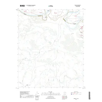
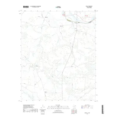
1950 Map of White Rock
USGS Topo · Published 1973About this map
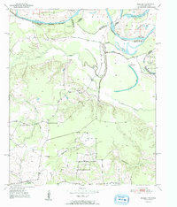
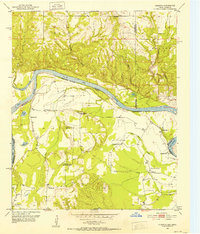
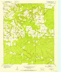
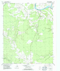
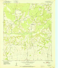
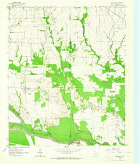
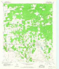
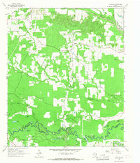
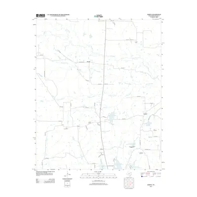
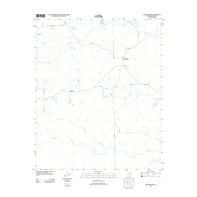
White Rock and the surrounding Red River County landscape are defined by a network of small agricultural settlements and communal anchors at the midpoint of the twentieth century. The terrain is intricately carved by Pecan Bayou and numerous creeks, such as Turkey Branch and Deadman Branch, which dictate the placement of local homesteads. This 1950s survey reveals a community-centric geography where education and faith are distributed across the countryside, evidenced by several rural institutions including Madras Sch, Haywood Sch, and Caney Sch. Religious life is similarly dispersed at Shiloh Ch and Concord Ch. The survey also preserves the locations of early family-linked sites like Slate Cem and Haywood Cem, alongside smaller hamlets like Vessey and Bryarly that supported the local cotton and cattle economy of northeast Texas.
Find a feature on this map
30 named features on this map. Tap any name to fly to it.
Don’t see what you’re looking for? This feature index may not catch every label — zoom into the map to look around manually.
Map Details
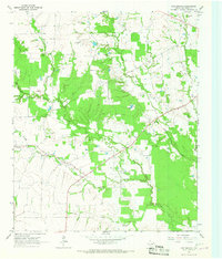
Editions of this 1950 White Rock Map
2 editions found
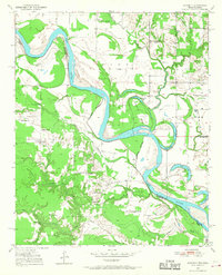
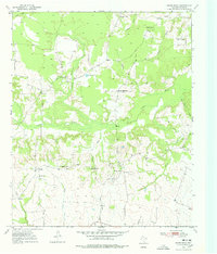
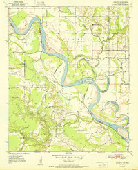
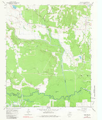
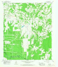
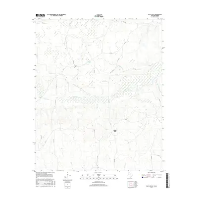
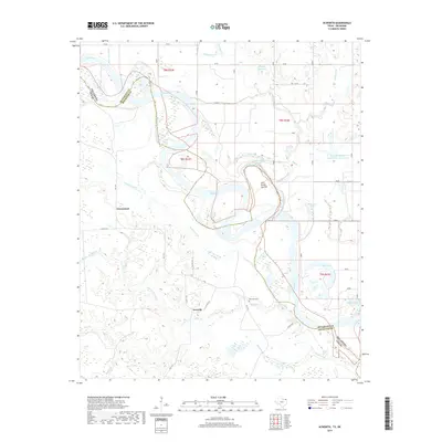
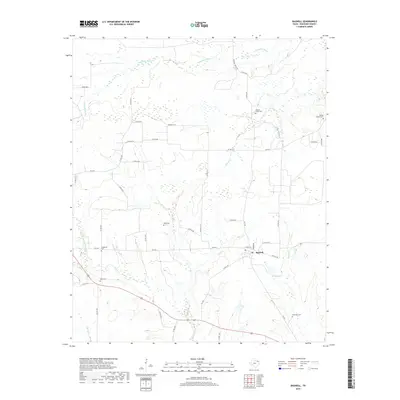
Historical Maps of Dilworth Through Time
80 maps found
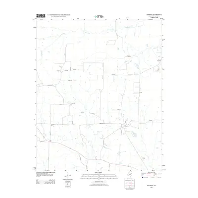
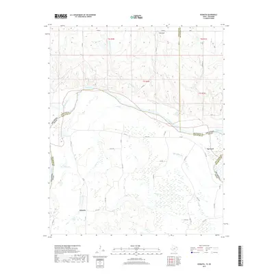
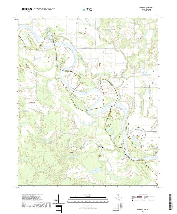
1950 Acworth
Red River County, TX
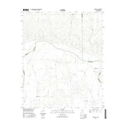
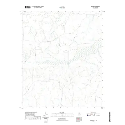
1950 White Rock
Red River County, TX
1951 Acworth
Red River County, TX
1951 English
Red River County, TX
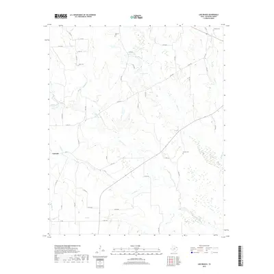
1951 Kiomatia
Red River County, TX
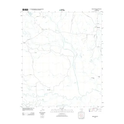
1951 Manchester
Red River County, TX
1951 Negley
Red River County, TX
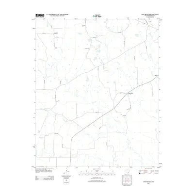
1951 White Rock
Red River County, TX
1963 Cunningham
Red River County, TX
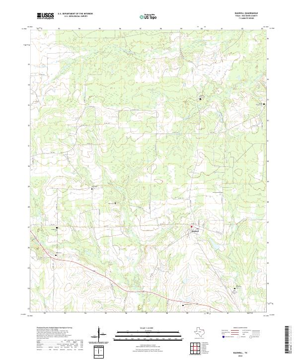
1964 Bagwell
Red River County, TX
1964 Cuthand
Red River County, TX
1964 Dimple
Red River County, TX
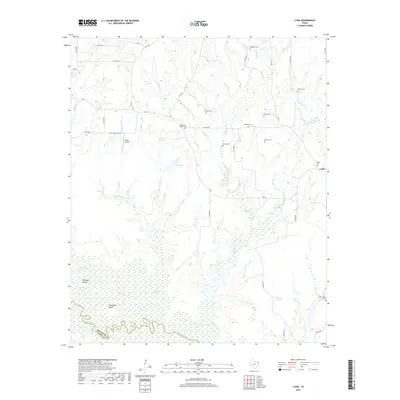
1964 Line Branch
Red River County, TX
1965 Boxelder
Red River County, TX
1965 Lydia
Red River County, TX
2010 Acworth
Red River County, TX
2010 Bagwell
Red River County, TX
2010 Boxelder
Red River County, TX
2010 Cunningham
Red River County, TX
2010 Cuthand
Red River County, TX
2010 Dimple
Red River County, TX
2010 English
Red River County, TX
2010 Kiomatia
Red River County, TX
2010 Line Branch
Red River County, TX
2010 Lydia
Red River County, TX
2010 Manchester
Red River County, TX
2010 Negley
Red River County, TX
2010 White Rock
Red River County, TX
2012 Bagwell
Red River County, TX
2012 Boxelder
Red River County, TX
2012 Line Branch
Red River County, TX
2012 White Rock
Red River County, TX
2013 Acworth
Red River County, TX
2013 Cunningham
Red River County, TX
2013 Cuthand
Red River County, TX
2013 Dimple
Red River County, TX
2013 English
Red River County, TX
2013 Kiomatia
Red River County, TX
2013 Lydia
Red River County, TX
2013 Manchester
Red River County, TX
2013 Negley
Red River County, TX
2016 Acworth
Red River County, TX
2016 Bagwell
Red River County, TX
2016 Boxelder
Red River County, TX
2016 Cunningham
Red River County, TX
2016 Cuthand
Red River County, TX
2016 Dimple
Red River County, TX
2016 English
Red River County, TX
2016 Kiomatia
Red River County, TX
2016 Line Branch
Red River County, TX

2016 Lydia
Red River County, TX
2016 Manchester
Red River County, TX
2016 Negley
Red River County, TX
2016 White Rock
Red River County, TX
2019 Acworth
Red River County, TX
2019 Bagwell
Red River County, TX
2019 Boxelder
Red River County, TX
2019 Cunningham
Red River County, TX
2019 Cuthand
Red River County, TX
2019 Dimple
Red River County, TX
2019 English
Red River County, TX
2019 Kiomatia
Red River County, TX
2019 Line Branch
Red River County, TX
2019 Lydia
Red River County, TX

2019 Manchester
Red River County, TX
2019 Negley
Red River County, TX
2019 White Rock
Red River County, TX
2022 Acworth
Red River County, TX
2022 Bagwell
Red River County, TX
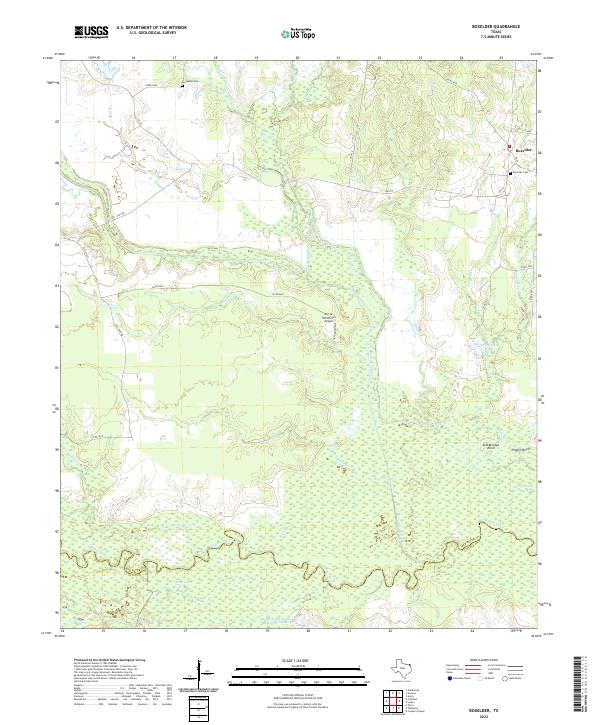
2022 Boxelder
Red River County, TX
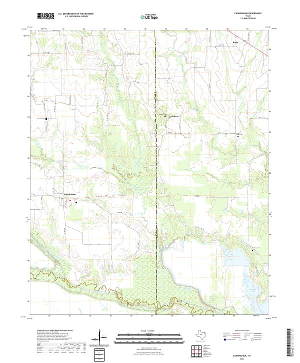
2022 Cunningham
Red River County, TX
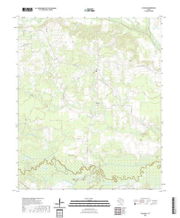
2022 Cuthand
Red River County, TX
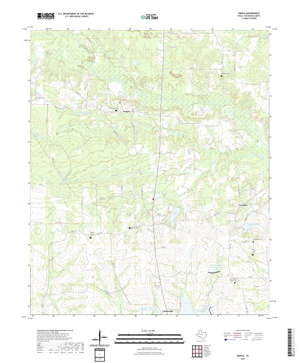
2022 Dimple
Red River County, TX
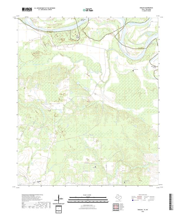
2022 English
Red River County, TX
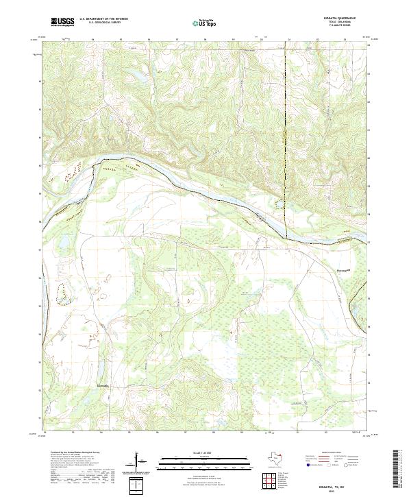
2022 Kiomatia
Red River County, TX
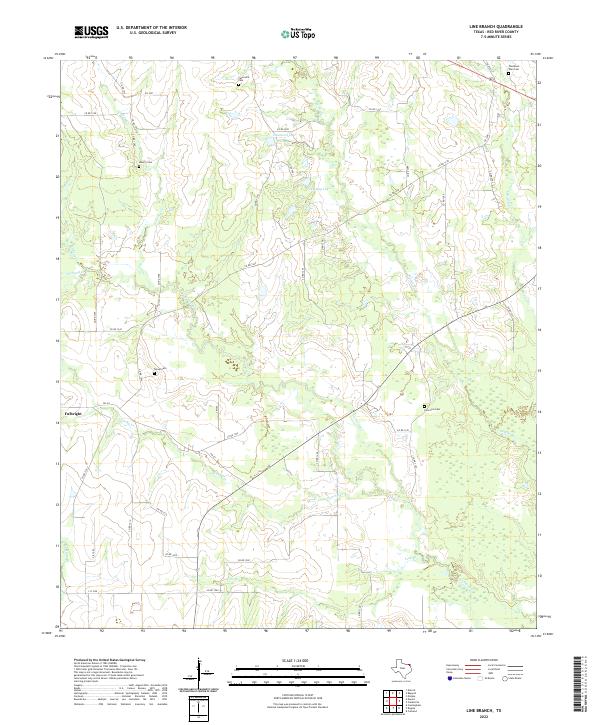
2022 Line Branch
Red River County, TX
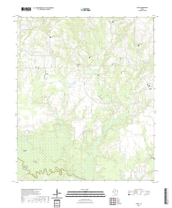
2022 Lydia
Red River County, TX
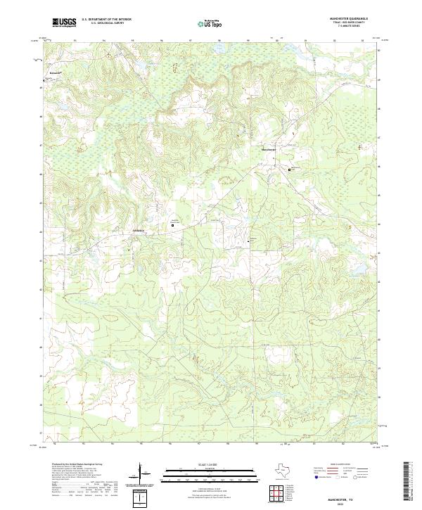
2022 Manchester
Red River County, TX
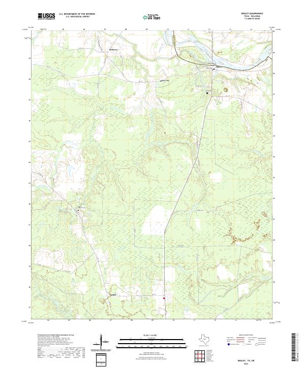
2022 Negley
Red River County, TX
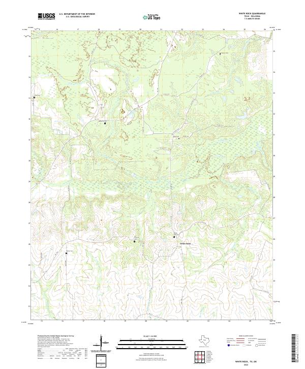
2022 White Rock
Red River County, TX