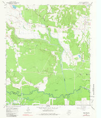
1965 Map of Boxelder
USGS Topo · Published 1981About this map
The Sulphur River meanders along the southern boundary of this landscape, marking the border between Red River Co and Titus Co during the mid-1960s. The terrain is defined by a dense network of tributaries including Cuthand Creek, Maple Creek, and Kickapoo Creek, which create a complex drainage pattern across the central plains. These waterways are interspersed with small landmarks such as Little Grass Lake and the elevated Harts Bluff.
Find a feature on this map
33 named features on this map. Tap any name to fly to it.
Don’t see what you’re looking for? This feature index may not catch every label — zoom into the map to look around manually.
Map Details
Editions of this 1965 Boxelder Map
2 editions found
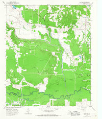
Other maps of this area

1950 · Annona
USGS Topo · 1:24,000

1951 · Annona
USGS Topo · 1:24,000

1951 · Avery
USGS Topo · 1:24,000

1953 · Texarkana
USGS Topo · 1:250,000

1956 · Texarkana
USGS Topo · 1:250,000

1964 · Cuthand
USGS Topo · 1:24,000

1964 · Wilkinson
USGS Topo · 1:24,000

1964 · Talco
USGS Topo · 1:24,000
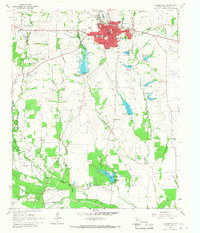
1964 · Clarksville
USGS Topo · 1:24,000

1965 · Lydia
USGS Topo · 1:24,000