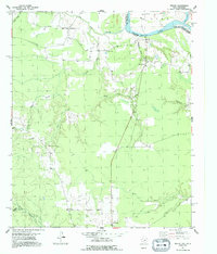
1951 Map of Negley
USGS Topo · Published 1992About this map
The Red River corridor defines the northern reach of this 1951 survey, where the state boundary between Texas and Oklahoma follows the winding waterway. Small riverside communities and crossroads like Albion and Silver City dot the landscape just south of the river, connected by a network of rural roads that navigate the complex drainage patterns of Hemingway Slough and Big Pine Creek.
Find a feature on this map
22 named features on this map. Tap any name to fly to it.
Don’t see what you’re looking for? This feature index may not catch every label — zoom into the map to look around manually.
Map Details
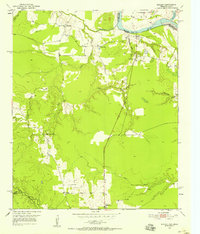
Editions of this 1951 Negley Map
3 editions found
Other maps of this area

1950 · Acworth
USGS Topo · 1:24,000

1950 · White Rock
USGS Topo · 1:24,000

1951 · Garvin
USGS Topo · 1:24,000

1951 · White Rock
USGS Topo · 1:24,000

1951 · Acworth
USGS Topo · 1:24,000

1951 · Millerton
USGS Topo · 1:24,000

1951 · Negley
USGS Topo · 1:24,000

1951 · Kiomatia
USGS Topo · 1:24,000

1951 · Manchester
USGS Topo · 1:24,000

1953 · Texarkana
USGS Topo · 1:250,000