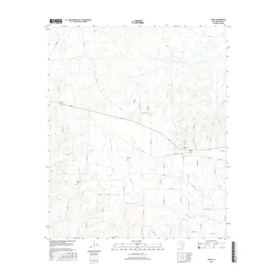
2016 Map of Avery
USGS Topo · Published 2016About this map
Avery serves as the central hub of this Northeast Texas landscape, where the local street grid intersects with regional routes like W Alabama Ave and FM 1701. The town's proximity to City Lake and its position within a network of creeks including Kickapoo Cr, White Oak Cr, and Shawnee Cr highlights the importance of local water resources in Red River County.
Find a feature on this map
64 named features on this map. Tap any name to fly to it.
Don’t see what you’re looking for? This feature index may not catch every label — zoom into the map to look around manually.
Map Details
Editions of this 2016 Avery Map
This is the sole edition of this map. No revisions or reprints were ever made.
Other maps of this area

1930 · Bassett
USGS Topo · 1:62,500

1950 · De Kalb NW
USGS Topo · 1:24,000

1950 · White Rock
USGS Topo · 1:24,000

1950 · Oak Grove
USGS Topo · 1:24,000

1950 · Annona
USGS Topo · 1:24,000

1951 · English
USGS Topo · 1:24,000

1951 · Annona
USGS Topo · 1:24,000

1951 · White Rock
USGS Topo · 1:24,000

1951 · De Kalb NW
USGS Topo · 1:24,000

1951 · Oak Grove
USGS Topo · 1:24,000