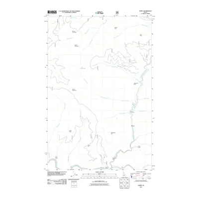
2011 Map of Avery
USGS Topo · Published 2011About this map
The Saint Joe River and its North Fork define the landscape of this Idaho interior, where the small community of Avery sits at the confluence of several mountain drainages. The topography is characterized by high summits such as Marcus Cook Peak and Arid Peak, which loom over a network of creeks including Hammond Creek and Setzer Creek. Transportation through these narrow valleys is restricted to routes like the St Joe River Rd and Siberts Old River Rd, following the natural watercourses that have historically shaped access to this region. Near the settlement of Stetson, the Telichpah Campground indicates the area's use for recreation along the North Fork Saint Joe River. This map also documents more secluded features like Cedar Lake and the steep elevation changes at Benchmark Hill, providing a clear view of the complex hydrology and terrain that isolated these small outposts.
Find a feature on this map
39 named features on this map. Tap any name to fly to it.
Don’t see what you’re looking for? This feature index may not catch every label — zoom into the map to look around manually.
Map Details
Editions of this 2011 Avery Map
This is the sole edition of this map. No revisions or reprints were ever made.
Other maps of this area
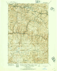
1914 · Avery
USGS Topo · 1:125,000
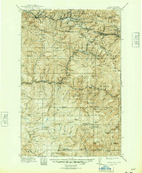
1917 · Avery
USGS Topo · 1:125,000
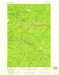
1956 · Saltese
USGS Topo · 1:62,500
1956 · Wallace
USGS Topo · 1:250,000
1957 · Wallace
USGS Topo · 1:62,500
1960 · Wallace
USGS Topo · 1:250,000
1969 · Hoyt Mountain
USGS Topo · 1:24,000
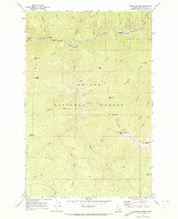
1969 · Three Sisters
USGS Topo · 1:24,000
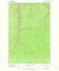
1969 · Fishhook Creek
USGS Topo · 1:24,000
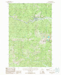
1988 · Mullan
USGS Topo · 1:24,000