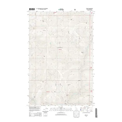
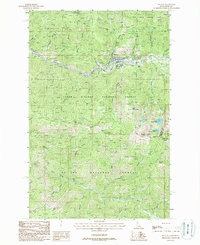
2013 Map of Avery
USGS Topo · Published 2013About this map
The Saint Joe River flows through this corner of the St. Joe National Forest, where the remote settlement of Avery serves as a primary point of human activity. The terrain is defined by steep drainages and mountain peaks, including Marcus Cook Peak, Mozier Peak, and Arid Peak. Historically, the presence of Avery Hill and Trego Point suggests a landscape shaped by early surveying and lookout points, while naming conventions like Jitney Gulch and Coddington Gulch hint at the area's local history.
Find a feature on this map
46 named features on this map. Tap any name to fly to it.
Don’t see what you’re looking for? This feature index may not catch every label — zoom into the map to look around manually.
Map Details
Editions of this 2013 Avery Map
This is the sole edition of this map. No revisions or reprints were ever made.
Other maps of this area

1914 · Avery
USGS Topo · 1:125,000

1917 · Avery
USGS Topo · 1:125,000

1956 · Saltese
USGS Topo · 1:62,500

1956 · Wallace
USGS Topo · 1:250,000

1957 · Wallace
USGS Topo · 1:62,500

1960 · Wallace
USGS Topo · 1:250,000
1969 · Hoyt Mountain
USGS Topo · 1:24,000
1969 · Three Sisters
USGS Topo · 1:24,000
1969 · Fishhook Creek
USGS Topo · 1:24,000
1988 · Mullan
USGS Topo · 1:24,000