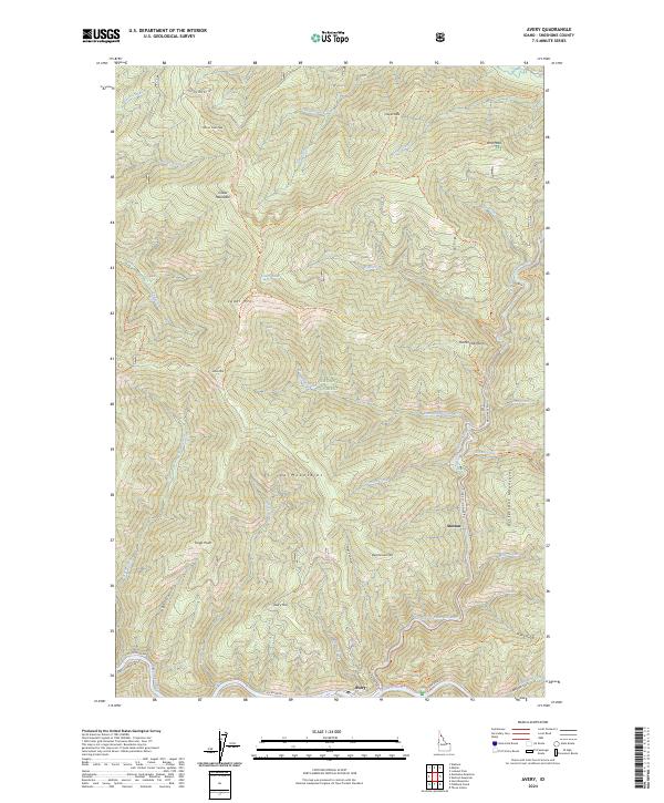
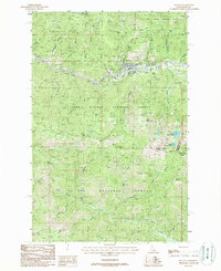
2024 Map of Avery
USGS Topo · Published 2024About this map
Avery and Stetson serve as the primary human touchpoints in this mountainous Shoshone County corridor, situated where the North Fork Saint Joe River meets the Saint Joe Wild and Scenic River. The landscape is dominated by the St. Joe Mountains and the Bitterroot Mountains, revealing a complex system of drainage basins including Hammond Creek and Stetson Creek. Historically significant transport and recreation routes like the Moon Pass Rd and Nelson Ridge National Recreation Trl cut through the St. Joe National Forest, linking high points such as Marcus Cook Peak and Arid Peak. The presence of Cedar Lake and numerous gulches like Trego Gulch and Jitney Gulch suggests a wilderness shaped by both water and the early forest service infrastructure used to manage this timber-rich interior.
Find a feature on this map
56 named features on this map. Tap any name to fly to it.
Don’t see what you’re looking for? This feature index may not catch every label — zoom into the map to look around manually.
Map Details
Editions of this 2024 Avery Map
This is the sole edition of this map. No revisions or reprints were ever made.
Other maps of this area

1914 · Avery
USGS Topo · 1:125,000

1917 · Avery
USGS Topo · 1:125,000

1956 · Saltese
USGS Topo · 1:62,500

1956 · Wallace
USGS Topo · 1:250,000

1957 · Wallace
USGS Topo · 1:62,500

1960 · Wallace
USGS Topo · 1:250,000
1969 · Hoyt Mountain
USGS Topo · 1:24,000
1969 · Three Sisters
USGS Topo · 1:24,000
1969 · Fishhook Creek
USGS Topo · 1:24,000
1988 · Mullan
USGS Topo · 1:24,000