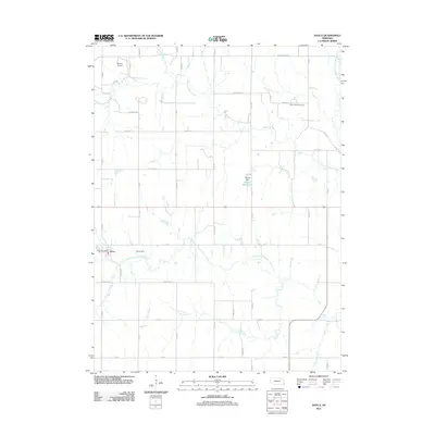
2011 Map of Avoca
USGS Topo · Published 2011About this map
The village of Avoca serves as the focal point for this Cass County landscape, where the local economy and social life are centered around the Avoca Post Office and a grid of agricultural section roads. The terrain is deeply defined by the branching tributaries of Weeping Water Creek, including the North Branch Weeping Water Creek and South Branch Weeping Water Creek, which create a complex drainage pattern across the prairie. Small-scale water management is evident through features like Ahrens Dam and its accompanying Ahrens Reservoir, along with Bond Dam further south.
Find a feature on this map
43 named features on this map. Tap any name to fly to it.
Don’t see what you’re looking for? This feature index may not catch every label — zoom into the map to look around manually.
Map Details
Editions of this 2011 Avoca Map
This is the sole edition of this map. No revisions or reprints were ever made.
Other maps of this area

1903 · Weeping Water
USGS Topo · 1:125,000

1907 · Nebraska City
USGS Topo · 1:62,500

1929 · Weeping Water
USGS Topo · 1:125,000

1935 · Nehawka
USGS Topo · 1:48,000

1940 · Nehawka
USGS Topo · 1:62,500

1955 · Nebraska City
USGS Topo · 1:250,000

1955 · Lincoln
USGS Topo · 1:250,000

1956 · Murray
USGS Topo · 1:24,000
1956 · Weeping Water NE
USGS Topo · 1:24,000

1957 · Nebraska City
USGS Topo · 1:250,000