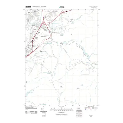
2010 Map of Avoca
USGS Topo · Published 2010About this map
Old Forge and its industrial heritage anchor the northern reaches of this Lackawanna Valley survey, where the Lackawanna River passes through a corridor of established coal-country settlements. The map documents the persistent infrastructure of the anthracite industry, notably the Old Forge Number 2 Shaft and the Elmwood Shaft near Dupont. The transition from heavy mining to modern transport is visible in the footprint of the Wilkes-Barre/Scranton International Airport and the complex transportation web surrounding Hillside Junction.
Find a feature on this map
95 named features on this map. Tap any name to fly to it.
Don’t see what you’re looking for? This feature index may not catch every label — zoom into the map to look around manually.
Map Details
Editions of this 2010 Avoca Map
This is the sole edition of this map. No revisions or reprints were ever made.
Other maps of this area

1889 · Scranton
USGS Topo · 1:62,500

1891 · Wilkesbarre
USGS Topo · 1:62,500

1891 · Scranton
USGS Topo · 1:62,500

1893 · Pittston
USGS Topo · 1:62,500

1893 · Scranton
USGS Topo · 1:62,500

1894 · Wilkesbarre
USGS Topo · 1:62,500

1922 · Stoddartsville
USGS Topo · 1:62,500

1924 · Stoddartsville
USGS Topo · 1:62,500

1943 · Scranton
USGS Topo · 1:125,000

1943 · Stoddartsville
USGS Topo · 1:62,500