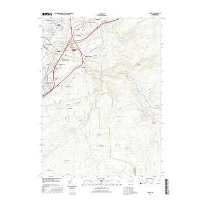
2016 Map of Avoca
USGS Topo · Published 2016About this map
The Lackawanna River corridor defines this landscape, where the anthracite coal region's legacy is etched into a dense network of settlements like Old Forge, Duryea, and Avoca. The map captures the complex interaction between infrastructure and geology, showing the Wilkes-Barre/Scranton International Airport situated on a high plateau just south of Hillside Junction. To the east, the terrain rises sharply into the Moosic Mountains, where the watershed is managed through a series of significant water works, including the Nesbitt Reservoir and Spring Brook Intake.
Find a feature on this map
135 named features on this map. Tap any name to fly to it.
Don’t see what you’re looking for? This feature index may not catch every label — zoom into the map to look around manually.
Map Details
Editions of this 2016 Avoca Map
This is the sole edition of this map. No revisions or reprints were ever made.
Other maps of this area

1889 · Scranton
USGS Topo · 1:62,500

1891 · Wilkesbarre
USGS Topo · 1:62,500

1891 · Scranton
USGS Topo · 1:62,500

1893 · Pittston
USGS Topo · 1:62,500

1893 · Scranton
USGS Topo · 1:62,500

1894 · Wilkesbarre
USGS Topo · 1:62,500

1922 · Stoddartsville
USGS Topo · 1:62,500

1924 · Stoddartsville
USGS Topo · 1:62,500

1943 · Scranton
USGS Topo · 1:125,000

1943 · Stoddartsville
USGS Topo · 1:62,500