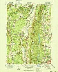
1951 Map of Avon
USGS Topo · Published 1951About this map
The Farmington River winds through the center of this mid-century landscape, separating the valley floor from the prominent ridge of Talcott Mtn. Atop the heights, the landmark Heublein Tower stands near King Phillip Cave and Little Phillip Mtn, overseeing a terrain marked by extensive water management infrastructure including Hartford Reservoir No 6 and Reservoir No 5. The region is defined by prestigious institutions and private estates, notably the sprawling campus of Avon Old Farms Sch and the Ethel Walker Sch.
Find a feature on this map
80 named features on this map. Tap any name to fly to it.
Don’t see what you’re looking for? This feature index may not catch every label — zoom into the map to look around manually.
Map Details
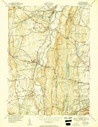
Editions of this 1951 Avon Map
2 editions found
Other maps of this area

1892 · Hartford
USGS Topo · 1:62,500

1892 · Meriden
USGS Topo · 1:62,500

1892 · Granby
USGS Topo · 1:62,500

1893 · Middletown
USGS Topo · 1:62,500

1893 · Meriden
USGS Topo · 1:62,500

1906 · Farmington
USGS Topo · 1:125,000

1928 · Windsor Locks
USGS Topo · 1:24,000

1928 · Windsor
USGS Topo · 1:24,000

1944 · Hartford South
USGS Topo · 1:31,680

1945 · Hartford North
USGS Topo · 1:31,680