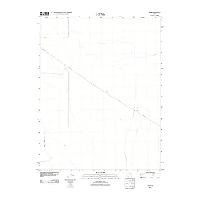
2011 Map of Avon
USGS Topo · Published 2011About this map
Avon sits within the broad, open expanse of the Escalante Desert in this 2011 topographic record of Iron County. The landscape is defined by its rectilinear grid of roads, most notably the diagonal trajectory of the Lund Hwy which cuts across the arid basin. Hydrological features like Iron Springs Creek and Dick Palme Wash provide clues to the drainage patterns of this high desert region. The settlement of Avon is situated at the intersection of local routes including 13300 W and 15200 N, showing the late 20th-century and early 21st-century rural development pattern common in the Intermountain West, where large, sparsely populated tracts are managed through a systematic road network.
Find a feature on this map
9 named features on this map. Tap any name to fly to it.
Don’t see what you’re looking for? This feature index may not catch every label — zoom into the map to look around manually.
Map Details
Editions of this 2011 Avon Map
This is the sole edition of this map. No revisions or reprints were ever made.
Other maps of this area

1885 · St. George
USGS Topo · 1:250,000

1891 · St. George
USGS Topo · 1:250,000

1950 · Antelope Peak
USGS Topo · 1:24,000

1950 · Enoch
USGS Topo · 1:62,500

1950 · The Three Peaks
USGS Topo · 1:24,000

1950 · Avon SE
USGS Topo · 1:24,000

1951 · Avon SE
USGS Topo · 1:24,000
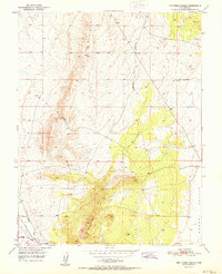
1951 · The Three Peaks
USGS Topo · 1:24,000

1951 · Avon
USGS Topo · 1:24,000

1951 · Avon NW
USGS Topo · 1:24,000