
2017 Map of Avon
USGS Topo · Published 2017About this map
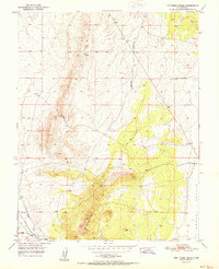
Avon serves as a primary point of interest in this arid stretch of Iron County, situated along the edge of the Escalante Desert. The landscape is characterized by its wide-open basins and the seasonal drainage of Iron Springs Cr, which cuts through the southern sections of the quadrangle. Transport patterns in this area are defined by long, straight thoroughfares and specialized loops, reflecting a rural infrastructure designed for wide-scale transit and local agricultural or ranching access.
Find a feature on this map
14 named features on this map. Tap any name to fly to it.
Don’t see what you’re looking for? This feature index may not catch every label — zoom into the map to look around manually.
Map Details
Editions of this 2017 Avon Map
This is the sole edition of this map. No revisions or reprints were ever made.
Other maps of this area

1885 · St. George
USGS Topo · 1:250,000

1891 · St. George
USGS Topo · 1:250,000

1950 · Antelope Peak
USGS Topo · 1:24,000

1950 · Enoch
USGS Topo · 1:62,500

1950 · The Three Peaks
USGS Topo · 1:24,000

1950 · Avon SE
USGS Topo · 1:24,000

1951 · Avon SE
USGS Topo · 1:24,000
1951 · The Three Peaks
USGS Topo · 1:24,000

1951 · Avon
USGS Topo · 1:24,000

1951 · Avon NW
USGS Topo · 1:24,000