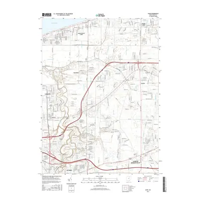
1994 Map of Avon
USGS Topo · Published 2000About this map
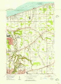
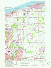
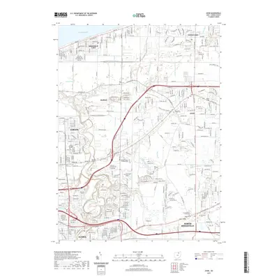
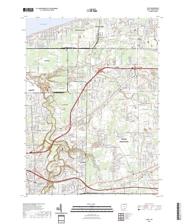
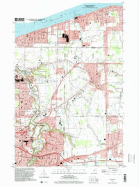
Lake Erie defines the northern edge of this shoreline landscape, where the Avon Basin and the mouth of the Black River meet the coastal industrial corridor of Lorain. Inland, the terrain is marked by the distinct elevations of North Ridge and Stony Ridge, which provided natural pathways for early development along Detroit Road. The transition from mid-century suburban expansion to late-century infrastructure is evident in the heavy concentration of corporate boundaries and the presence of the Ohio Turnpike cutting through North Ridgeville. Local community centers are anchored by numerous parochial and public institutions, such as St Marys Sch and Brookside High Sch, while natural preserves like the French Creek State Reservation offer a contrast to the dense residential layouts of Sheffield Lake and Avon Lake. Genealogists will find value in the clearly marked St Teresa Cem and Avon Cem, situated near long-established routes and rail lines like the Norfolk and Western.
Find a feature on this map
46 named features on this map. Tap any name to fly to it.
Don’t see what you’re looking for? This feature index may not catch every label — zoom into the map to look around manually.
Map Details
Editions of this 1994 Avon Map
This is the sole edition of this map. No revisions or reprints were ever made.
Historical Maps of Lorain Through Time
8 maps found