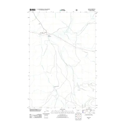
2011 Map of Avon
USGS Topo · Published 2011About this map
Avon serves as the central hub of this Montana landscape, situated at the confluence of several vital waterways including the Little Blackfoot River and Trout Creek. The settlement's infrastructure is clearly defined, from the Avon Post Office and Avon Vol Fire Dept to the nearby Echo Valley Campground. This 2011 survey captures the area's transition between its resource-extraction history and modern agricultural or recreational use, evidenced by the presence of the Buffalo Mine in the southeastern quadrant.
Find a feature on this map
21 named features on this map. Tap any name to fly to it.
Don’t see what you’re looking for? This feature index may not catch every label — zoom into the map to look around manually.
Map Details
Editions of this 2011 Avon Map
This is the sole edition of this map. No revisions or reprints were ever made.
Other maps of this area

1889 · Helena
USGS Topo · 1:250,000

1893 · Helena
USGS Topo · 1:250,000

1899 · Boulder
USGS Topo · 1:125,000

1899 · Helena
USGS Topo · 1:250,000

1903 · Helena
USGS Topo · 1:250,000

1947 · Butte
USGS Topo · 1:250,000

1954 · Basin
USGS Topo · 1:62,500

1958 · Butte
USGS Topo · 1:250,000

1958 · Avon
USGS Topo · 1:62,500

1959 · Deer Lodge
USGS Topo · 1:62,500