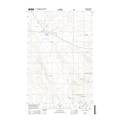
2014 Map of Avon
USGS Topo · Published 2014About this map
The settlement of Avon serves as the focal point for this survey of Powell County, situated where the Little Blackfoot River meets a network of mountain roads and gulches. The terrain is defined by its drainage systems, including Spotted Dog Cr, Trout Cr, and Snowshoe Cr, which carve through the foothills leading into the Helena National Forest. Local infrastructure like the Little Blackfoot River Bridge and MT-141 provides a window into how this valley is connected, while the Avon Cemetery and Avon Valley labels offer specific points of interest for genealogists tracing families in the region.
Find a feature on this map
37 named features on this map. Tap any name to fly to it.
Don’t see what you’re looking for? This feature index may not catch every label — zoom into the map to look around manually.
Map Details
Editions of this 2014 Avon Map
This is the sole edition of this map. No revisions or reprints were ever made.
Other maps of this area

1889 · Helena
USGS Topo · 1:250,000

1893 · Helena
USGS Topo · 1:250,000

1899 · Boulder
USGS Topo · 1:125,000

1899 · Helena
USGS Topo · 1:250,000

1903 · Helena
USGS Topo · 1:250,000

1947 · Butte
USGS Topo · 1:250,000

1954 · Basin
USGS Topo · 1:62,500

1958 · Butte
USGS Topo · 1:250,000

1958 · Avon
USGS Topo · 1:62,500

1959 · Deer Lodge
USGS Topo · 1:62,500