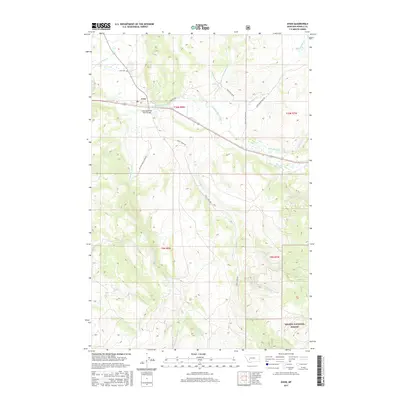
2017 Map of Avon
USGS Topo · Published 2017About this map
The settlement of Avon sits at the confluence of several mountain waterways, serving as a focal point for this Powell County landscape. The Little Blackfoot River winds through the valley, spanned by the Little Blackfoot River Bridge, while the surrounding terrain is defined by a dense network of drainages including Threemile Cr, Trout Cr, and Spotted Dog Cr. This geography reflects a typical Montana mountain-valley settlement pattern where ranching and transport routes follow the natural corridors carved by the water.
Find a feature on this map
23 named features on this map. Tap any name to fly to it.
Don’t see what you’re looking for? This feature index may not catch every label — zoom into the map to look around manually.
Map Details
Editions of this 2017 Avon Map
This is the sole edition of this map. No revisions or reprints were ever made.
Other maps of this area

1889 · Helena
USGS Topo · 1:250,000

1893 · Helena
USGS Topo · 1:250,000

1899 · Boulder
USGS Topo · 1:125,000

1899 · Helena
USGS Topo · 1:250,000

1903 · Helena
USGS Topo · 1:250,000

1947 · Butte
USGS Topo · 1:250,000

1954 · Basin
USGS Topo · 1:62,500

1958 · Butte
USGS Topo · 1:250,000

1958 · Avon
USGS Topo · 1:62,500

1959 · Deer Lodge
USGS Topo · 1:62,500