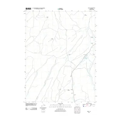
2010 Map of Axial
USGS Topo · Published 2010About this map
The Axial Basin of Moffat County, Colorado, is defined by its industrial activity and historic ranching operations. In the early 21st century, the landscape south of the Axial settlement shows heavy resource extraction at the Colowyo Strip Mine, Red Wing Mine, and Streeter Mine. These operations sit beneath the prominence of Mount Streeter, where Good Spring Creek flows southward toward Elkhorn Creek. The region's agricultural roots are evident through family-named landmarks like Gossard Ranch, Wilson Ranch, and the Circle Bar Ranch. Water management is central to this semi-arid terrain, anchored by the Wilson Dam and Wilson Reservoir, which collect the waters of Wilson Creek and Milk Creek. The northern portion of the map is dominated by the topography of Duffy Mountain and the deep cut of Collom Gulch, illustrating the transition from high-desert basins to the rugged uplands of Northwestern Colorado.
Find a feature on this map
27 named features on this map. Tap any name to fly to it.
Don’t see what you’re looking for? This feature index may not catch every label — zoom into the map to look around manually.
Map Details
Editions of this 2010 Axial Map
This is the sole edition of this map. No revisions or reprints were ever made.
Other maps of this area

1910 · Danforth Hills
USGS Topo · 1:125,000

1912 · Meeker
USGS Topo · 1:62,500

1912 · Axial
USGS Topo · 1:62,500

1914 · Meeker
USGS Topo · 1:62,500

1914 · Axial
USGS Topo · 1:62,500

1915 · Monument Butte
USGS Topo · 1:62,500

1954 · Craig
USGS Topo · 1:250,000

1957 · Craig
USGS Topo · 1:250,000

1958 · Craig
USGS Topo · 1:250,000

1960 · Craig
USGS Topo · 1:250,000