
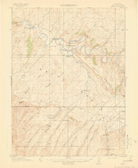
1914 Map of Axial
USGS Topo · Published 1914About this map
Yampa River meanders across this northwestern Colorado landscape, defining the character of Moffat County before the onset of modern development. The survey, conducted in 1912, reveals a region organized around ranching and natural springs. Settlements such as Axial and the Juniper Hot Springs Juniper P O serve as the primary human anchors in a terrain dominated by significant landmarks like Duffy Mountain and Signal Butte.
Find a feature on this map
44 named features on this map. Tap any name to fly to it.
Don’t see what you’re looking for? This feature index may not catch every label — zoom into the map to look around manually.
Map Details
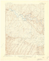
Editions of this 1914 Axial Map
3 editions found
Other maps of this area

1907 · White River
USGS Topo · 1:125,000

1910 · Danforth Hills
USGS Topo · 1:125,000

1910 · White River
USGS Topo · 1:125,000

1912 · Meeker
USGS Topo · 1:62,500

1912 · Axial
USGS Topo · 1:62,500

1914 · Meeker
USGS Topo · 1:62,500

1915 · Monument Butte
USGS Topo · 1:62,500

1916 · Craig
USGS Topo · 1:125,000

1954 · Vernal
USGS Topo · 1:250,000

1954 · Craig
USGS Topo · 1:250,000