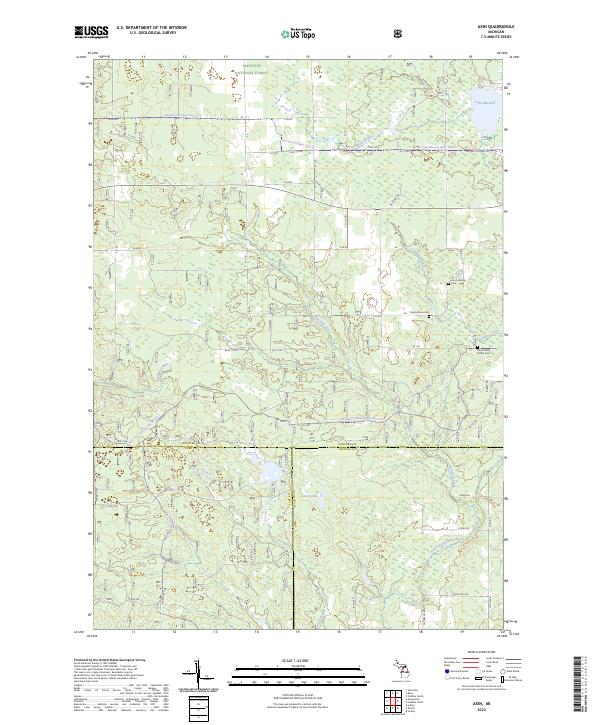
2023 Map of Axin
USGS Topo · Published 2023About this map
The Manistee National Forest dominates the northern reaches of this Wexford County landscape, where the headwaters of numerous streams carve through the timberland. Water defines the region's geography, from the southern tip of Lake Mitchell in the northeast corner to the winding course of the North Branch Pine River near the southern boundary. Small family burial grounds and community sites such as the Larson Family Cem and Cherry Grove Cem are tucked among the forest roads and section lines, offering specific points of interest for genealogical research. The map captures a transition point where three counties — Wexford, Lake, and Osceola — converge. This intersection is marked by a network of forest service routes, including the Ward Hills-Cadillac Smt Dnr35 Trl, which navigate the terrain around Fairchild Creek and Hay Lake.
Find a feature on this map
53 named features on this map. Tap any name to fly to it.
Don’t see what you’re looking for? This feature index may not catch every label — zoom into the map to look around manually.
Map Details
Editions of this 2023 Axin Map
This is the sole edition of this map. No revisions or reprints were ever made.
Other maps of this area

1933 · Luther SE
USGS Topo · 1:31,680

1933 · Luther SW
USGS Topo · 1:31,680

1933 · Luther NW
USGS Topo · 1:31,680

1954 · Traverse City
USGS Topo · 1:250,000

1956 · Mesick
USGS Topo · 1:62,500

1956 · Cadillac North
USGS Topo · 1:62,500

1957 · Cadillac South
USGS Topo · 1:62,500

1957 · Luther
USGS Topo · 1:62,500

1958 · Traverse City
USGS Topo · 1:250,000

1983 · Cadillac
USGS Topo · 1:100,000