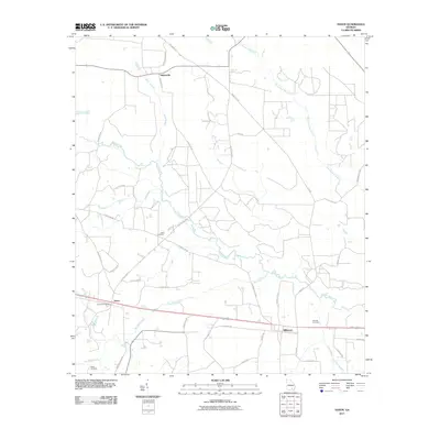
2011 Map of Axson
USGS Topo · Published 2011About this map
The Satilla River meanders across this rural Georgia landscape, defining the topography of Ware County as it appeared in the early 21st century. The settlement of Axson serves as a local hub, anchored by the Axson Post Office and connected to the neighboring community of Millwood by a network of county roads and a primary east-west transportation corridor. The map reveals a tapestry of small family-named routes such as Lavonne Mullis Rd and Catfish Mullis Loop, which reflect the area's deep-rooted local history.
Find a feature on this map
45 named features on this map. Tap any name to fly to it.
Don’t see what you’re looking for? This feature index may not catch every label — zoom into the map to look around manually.
Map Details
Editions of this 2011 Axson Map
This is the sole edition of this map. No revisions or reprints were ever made.
Other maps of this area

1953 · Waycross
USGS Topo · 1:250,000

1958 · Waycross
USGS Topo · 1:250,000

1967 · Pine Valley
USGS Topo · 1:24,000

1968 · Cogdell
USGS Topo · 1:24,000

1971 · Douglas South
USGS Topo · 1:24,000

1971 · Wilsonville
USGS Topo · 1:24,000

1971 · Beach
USGS Topo · 1:24,000

1971 · Axson
USGS Topo · 1:24,000

1971 · Pearson
USGS Topo · 1:24,000

1971 · Talmo
USGS Topo · 1:24,000