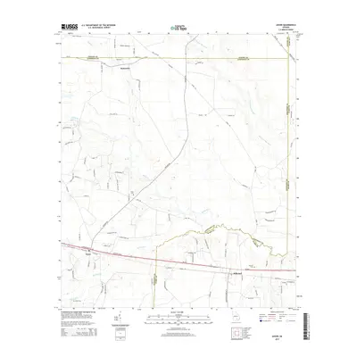
2014 Map of Axson
USGS Topo · Published 2014About this map
The Satilla River and the Seventeen Mile River converge within this corner of southern Georgia, shaping a landscape defined by expansive river basins and meandering creeks. This 2014 survey documents the rural character of the Atkinson, Coffee, and Ware county borders, anchored by the settlements of Axson and Millwood. The transport network is dominated by Ga-520 and Ga-64, which cut through the pine-laden terrain alongside historic local routes like Minchew Rd and Forks Rd.
Find a feature on this map
87 named features on this map. Tap any name to fly to it.
Don’t see what you’re looking for? This feature index may not catch every label — zoom into the map to look around manually.
Map Details
Editions of this 2014 Axson Map
This is the sole edition of this map. No revisions or reprints were ever made.
Other maps of this area

1953 · Waycross
USGS Topo · 1:250,000
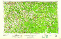
1958 · Waycross
USGS Topo · 1:250,000
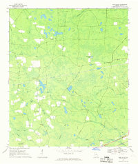
1967 · Pine Valley
USGS Topo · 1:24,000
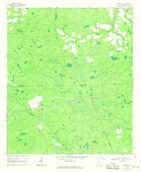
1968 · Cogdell
USGS Topo · 1:24,000
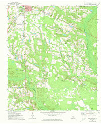
1971 · Douglas South
USGS Topo · 1:24,000
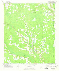
1971 · Wilsonville
USGS Topo · 1:24,000
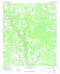
1971 · Beach
USGS Topo · 1:24,000
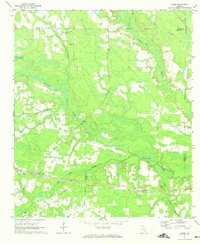
1971 · Axson
USGS Topo · 1:24,000
1971 · Pearson
USGS Topo · 1:24,000
1971 · Talmo
USGS Topo · 1:24,000