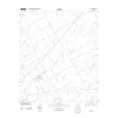
2013 Map of Axtell
USGS Topo · Published 2013About this map
The settlement of Axtell anchors the southwestern portion of this Central Texas landscape, organized by a network of rural routes and creek drainages in Hill County. The terrain is defined by the headwaters of numerous waterways, including Tehuacana Cr and Cottonwood Cr, which feed into local catchments like Cottonbell Lake and Green Briar Lake. Historically significant burial grounds such as Mt Calm Cem and Billington Cem are positioned along the eastern margins, reflecting the early rural community structure. To the south, Texas Valley Airfield stands out as a modern landmark amidst the agricultural fields. The naming of local roads like Whiskey Hill Rd and Kirkland Hill Rd suggests the prominence of family legacies and local geography in defining this territory as it appeared in the early 21st century.
Find a feature on this map
93 named features on this map. Tap any name to fly to it.
Don’t see what you’re looking for? This feature index may not catch every label — zoom into the map to look around manually.
Map Details
Editions of this 2013 Axtell Map
This is the sole edition of this map. No revisions or reprints were ever made.
Other maps of this area

1892 · Waco
USGS Topo · 1:125,000

1920 · Waco
USGS Topo · 1:125,000

1920 · Mart
USGS Topo · 1:62,500

1931 · Elm Mott
USGS Topo · 1:62,500

1954 · Waco
USGS Topo · 1:250,000

1955 · Waco
USGS Topo · 1:250,000

1956 · Hubbard
USGS Topo · 1:24,000

1956 · Penelope
USGS Topo · 1:24,000

1956 · Axtell
USGS Topo · 1:24,000

1956 · West
USGS Topo · 1:24,000