
1970 Map of Axtell West
USGS Topo · Published 1972About this map
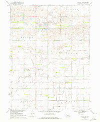
The agricultural landscape of Phelps Co and Kearney Co is defined by a sophisticated water management system designed for the Missouri River Basin development. Central to this grid are the Phelps County Canal and the Mirage Canal, which cut across the prairie alongside the Burlington Northern railroad. The map documents the rural communities of Axtell and Funk, showing the layout of streets and grain-handling infrastructure that anchored these small towns.
Find a feature on this map
14 named features on this map. Tap any name to fly to it.
Don’t see what you’re looking for? This feature index may not catch every label — zoom into the map to look around manually.
Map Details
Editions of this 1970 Axtell West Map
This is the sole edition of this map. No revisions or reprints were ever made.
Other maps of this area

1894 · Kearney
USGS Topo · 1:62,500

1896 · Holdrege
USGS Topo · 1:125,000

1896 · Kearney
USGS Topo · 1:125,000

1955 · Grand Island
USGS Topo · 1:250,000

1957 · Grand Island
USGS Topo · 1:250,000

1958 · Grand Island
USGS Topo · 1:250,000

1970 · Holdrege East
USGS Topo · 1:24,000
1970 · Kearney SE
USGS Topo · 1:24,000
1970 · Axtell East
USGS Topo · 1:24,000
1970 · Elm Creek SE
USGS Topo · 1:24,000