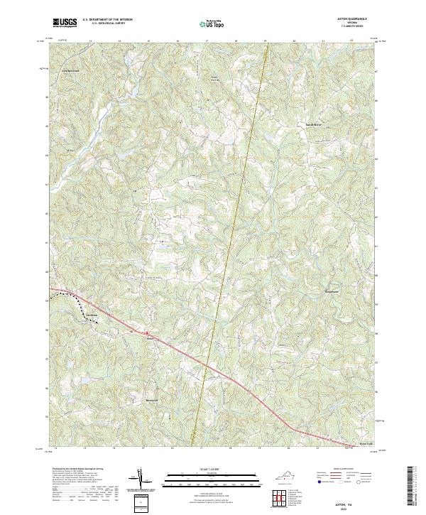
2022 Map of Axton
USGS Topo · Published 2022About this map
Axton serves as a central point of this modern survey, where the rolling hills of southern Virginia meet along the Henry and Pittsylvania county line. The landscape is defined by an intricate network of waterways, including the S Prong Sandy River and W Fork Sandy River, which carve through the terrain near settlements like Sandy River and Soapstone. To the north, Glady Fork Mtn rises above the drainage of Crooked Run and Suckegg Br, illustrating the topographical complexity of the region. Local transit and community life are visible through the collection of small settlements such as Leatherwood, Boxwood, and Stockton. Significant landmarks for local researchers include Robinson Lake and Reservoir Number 5, along with curiously named local routes like Nowhere Rd, which offer a specific look at rural infrastructure in the 21st century.
Find a feature on this map
94 named features on this map. Tap any name to fly to it.
Don’t see what you’re looking for? This feature index may not catch every label — zoom into the map to look around manually.
Map Details
Editions of this 2022 Axton Map
This is the sole edition of this map. No revisions or reprints were ever made.
Other maps of this area

1922 · Callands
USGS Topo · 1:48,000

1924 · Martinsville
USGS Topo · 1:48,000

1924 · Draper
USGS Topo · 1:48,000

1924 · Callands
USGS Topo · 1:62,500

1925 · Rocky Mount
USGS Topo · 1:48,000

1926 · Martinsville
USGS Topo · 1:62,500

1926 · Draper
USGS Topo · 1:62,500

1927 · Rocky Mount
USGS Topo · 1:62,500

1927 · Martinsville
USGS Topo · 1:62,500

1944 · Martinsville
USGS Topo · 1:62,500