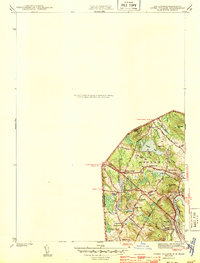
1943 Map of Ayers Village
USGS Topo · Published 1943About this map
Ayers Village and the surrounding borderlands of New Hampshire and Massachusetts show a transition between residential expansion and established rural parishes during the early 1940s. Centered around the intersection of Ayers Village Rd and Broadway, the community is characterized by small residential clusters like Graceland Park and Maple Park, while older landmarks like the West Parish Ch and Hillside Cem ground the area in its colonial heritage. To the south, the Merrimack River flows past the Merrimack Valley Golf Club, indicating the recreational development of the era. Education is localized through a network of small schoolhouses, including the Broadway Sch and Howe Sch, which served the crossroads settlements of Grosvenor Corner and Tozier Corner. The landscape is notably defined by several hills such as Beebe Hill and Parsonage Hill, providing a distinct topographic backdrop to the developing streetcar-era suburbs of Haverhill and Methuen.
Find a feature on this map
36 named features on this map. Tap any name to fly to it.
Don’t see what you’re looking for? This feature index may not catch every label — zoom into the map to look around manually.
Map Details
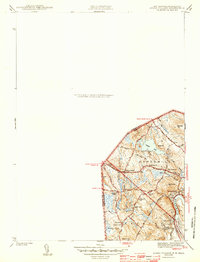
Editions of this 1943 Ayers Village Map
2 editions found
Other maps of this area

1886 · Lawrence
USGS Topo · 1:62,500

1886 · Lowell
USGS Topo · 1:62,500

1888 · Haverhill
USGS Topo · 1:62,500

1888 · Lawrence
USGS Topo · 1:62,500

1890 · Haverhill
USGS Topo · 1:62,500

1893 · Lowell
USGS Topo · 1:62,500

1893 · Lawrence
USGS Topo · 1:62,500

1893 · Haverhill
USGS Topo · 1:62,500

1905 · Manchester
USGS Topo · 1:62,500

1918 · Lowell
USGS Topo · 1:62,500