
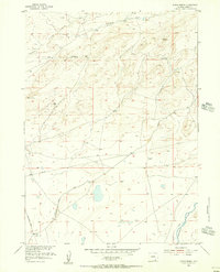
1955 Map of Ayres Spring
USGS Topo · Published 1956About this map
The high plains of Albany County are defined by a network of water sources and traditional transit routes in the mid-1950s. The Laramie River flows through the southeastern corner, supported by an irrigation Ditch, while the namesake Ayres Spring and Box Spring provide critical watering points in the drier upland terrain. The landscape is marked by prominent natural features such as the Red Hill formation and the winding depths of Box Canyon.
Find a feature on this map
12 named features on this map. Tap any name to fly to it.
Don’t see what you’re looking for? This feature index may not catch every label — zoom into the map to look around manually.
Map Details
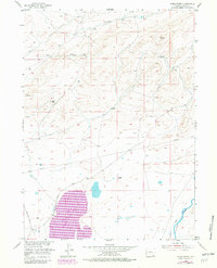
Editions of this 1955 Ayres Spring Map
3 editions found
Other maps of this area

1954 · Torrington
USGS Topo · 1:250,000

1954 · Cheyenne
USGS Topo · 1:250,000

1955 · Mc Gill Lakes
USGS Topo · 1:24,000

1955 · Dodge Ranch
USGS Topo · 1:24,000

1955 · Bluegrass Wells
USGS Topo · 1:24,000

1955 · Sevenmile Spring
USGS Topo · 1:24,000

1955 · Cannonball Cut
USGS Topo · 1:24,000

1958 · Cheyenne
USGS Topo · 1:250,000

1958 · Torrington
USGS Topo · 1:250,000
1968 · Garrett
USGS Topo · 1:24,000