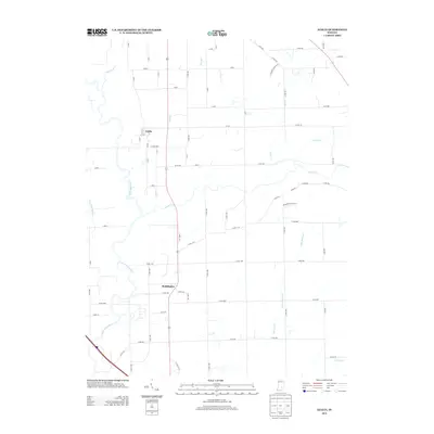
2013 Map of Azalia
USGS Topo · Published 2013About this map
Reddington and Azalia anchor this rural landscape in southeastern Indiana, situated along a north-south corridor between the winding bends of the E Fork White River and several tributary drainages. The area is defined by its complex hydrology, where Sand Cr, Little Sand Cr, and the slow-moving Thompson Slough intersect the agricultural grid. This network of waterways creates a distinctive riparian pattern that breaks the straight lines of the county road system. Further east, the terrain is drained by Mutton Cr and its smaller branches, including Little Mutton Cr. The map reveals the late-twentieth-century transition of the region, showing how established settlements like Azalia remain integrated into a landscape predominantly utilized for farming and intersected by a dense network of local routes like Co RD-900 and Co RD-400.
Find a feature on this map
68 named features on this map. Tap any name to fly to it.
Don’t see what you’re looking for? This feature index may not catch every label — zoom into the map to look around manually.
Map Details
Editions of this 2013 Azalia Map
This is the sole edition of this map. No revisions or reprints were ever made.
Other maps of this area

1942 · Columbus
USGS Topo · 1:125,000

1953 · Cincinnati
USGS Topo · 1:250,000

1956 · Louisville
USGS Topo · 1:250,000

1957 · Cincinnati
USGS Topo · 1:250,000

1957 · Jonesville
USGS Topo · 1:24,000

1957 · Azalia
USGS Topo · 1:24,000

1957 · North Vernon
USGS Topo · 1:24,000
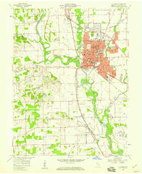
1958 · Columbus
USGS Topo · 1:24,000

1958 · Grammer
USGS Topo · 1:24,000
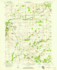
1958 · Elizabethtown
USGS Topo · 1:24,000